File:FlooplainContours.jpg
From XMS Wiki
Jump to navigationJump to search
No higher resolution available.
FlooplainContours.jpg (491 × 540 pixels, file size: 143 KB, MIME type: image/jpeg)
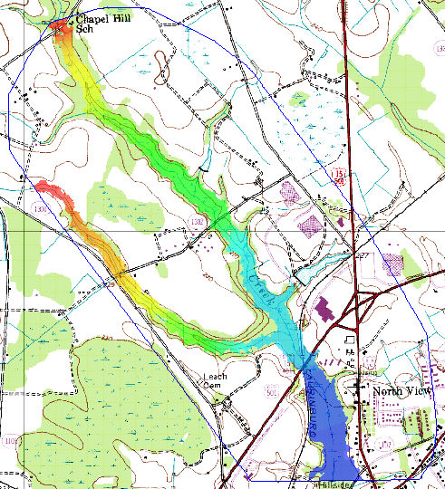
Each floodplain delineation results in a water surface elevation and a flood depth dataset
File history
Click on a date/time to view the file as it appeared at that time.
| Date/Time | Thumbnail | Dimensions | User | Comment | |
|---|---|---|---|---|---|
| current | ★ Approved revision 21:16, 9 July 2007 | | 491 × 540 (143 KB) | Eshaw (talk | contribs) |
You cannot overwrite this file.
File usage
The following page uses this file: