Uploads by Eshaw
From XMS Wiki
Jump to navigationJump to search
This special page shows all uploaded files.
| Date | Name | Thumbnail | Size | Description | Versions |
|---|---|---|---|---|---|
| 22:46, 15 May 2008 | GSDA EPA LandUse.png (file) |  |
196 KB | 1 | |
| 23:08, 15 May 2008 | GSDA EPA Soil Type.png (file) |  |
70 KB | 1 | |
| 20:58, 16 May 2008 | GSDA Land Use.png (file) |  |
252 KB | 1 | |
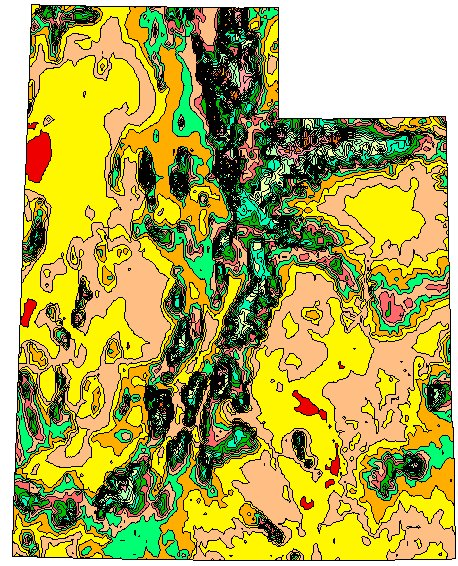
| 15:55, 17 May 2008 | GSDA NRCS STATSGO Soil Type.png (file) |  |
248 KB | 1 | |
| 15:59, 17 May 2008 | GSDAImage041.png (file) | 10 KB | 1 | ||
| 16:22, 17 May 2008 | GSDAImage042.png (file) |  |
4 KB | 1 | |
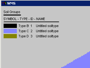
| 17:39, 17 May 2008 | GSDA Soil Legend.png (file) |  |
2 KB | 1 | |
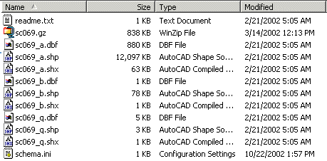
| 18:02, 17 May 2008 | GSDA SHPdirectory.png (file) |  |
6 KB | 1 | |
| 20:09, 17 May 2008 | GSDA USDA-NRCS logo.png (file) | 13 KB | 1 | ||
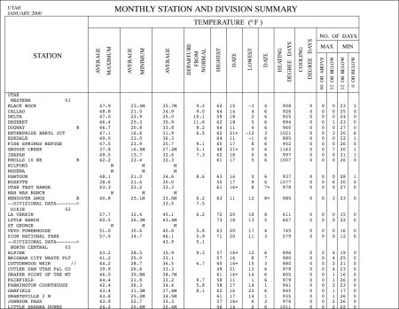
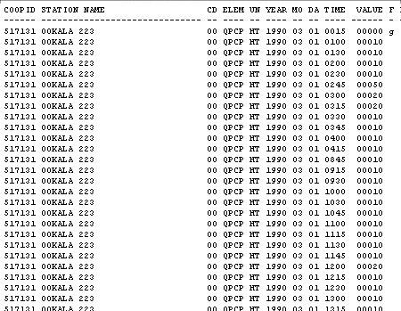
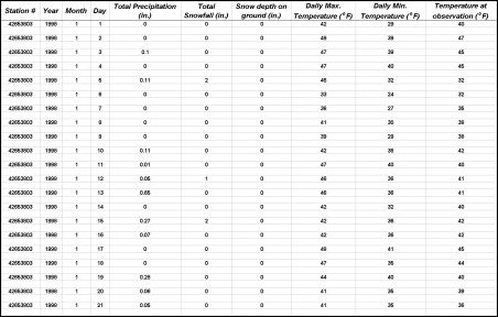
| 20:44, 17 May 2008 | GSDA TabulatedCSVdata.png (file) |  |
124 KB | 1 | |
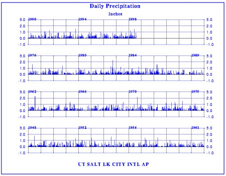
| 20:44, 17 May 2008 | GSDA 60yearsGraph.png (file) |  |
185 KB | 1 | |
| 20:45, 17 May 2008 | GSDA YearGraph.png (file) |  |
140 KB | 1 | |
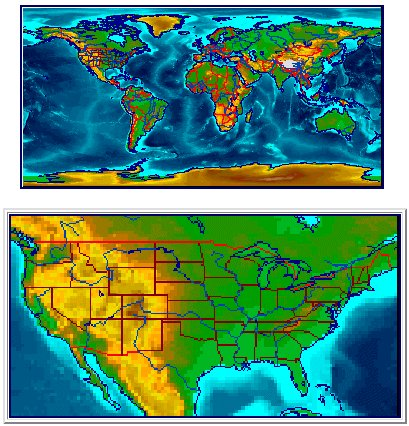
| 20:50, 17 May 2008 | GSDA PrecipitationPRISM.png (file) |  |
265 KB | 1 | |
| 20:51, 17 May 2008 | GSDA PrecipitationNRCS.png (file) |  |
347 KB | 1 | |
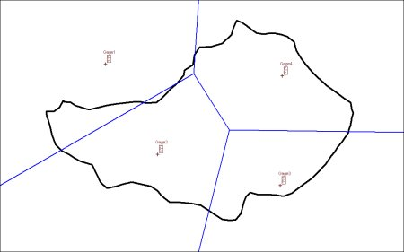
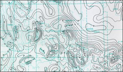
| 20:52, 17 May 2008 | GSDA ThiessenWatershed.png (file) |  |
42 KB | 1 | |
| 20:52, 17 May 2008 | GSDA Historical.png (file) |  |
26 KB | 1 | |
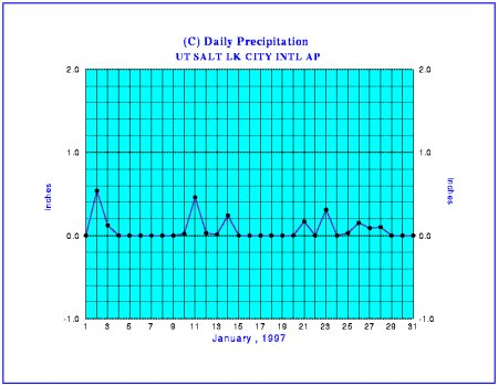
| 20:58, 17 May 2008 | GSDA PrecipitationNOAA.png (file) |  |
223 KB | 1 | |
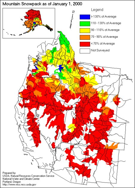
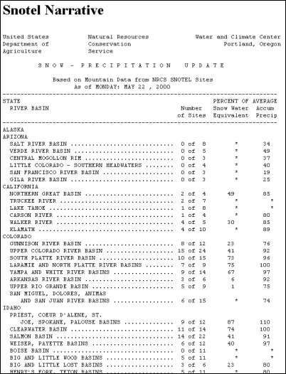
| 20:59, 17 May 2008 | GSDA SnotelNarrative.png (file) |  |
171 KB | 1 | |
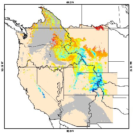
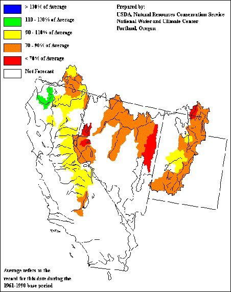
| 21:05, 17 May 2008 | GSDA UCCmaps.png (file) |  |
296 KB | 1 | |
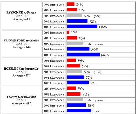
| 21:07, 17 May 2008 | GSDA UCCdata.png (file) |  |
95 KB | 1 | |
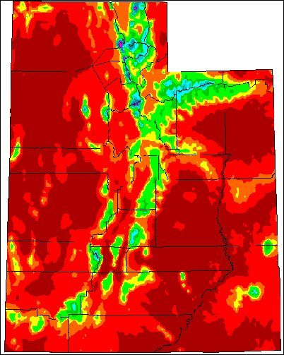
| 21:13, 17 May 2008 | Utah's precipitation map.png (file) |  |
359 KB | 1 | |
| 21:14, 17 May 2008 | GSDA UtahArcView.png (file) |  |
492 KB | 1 | |
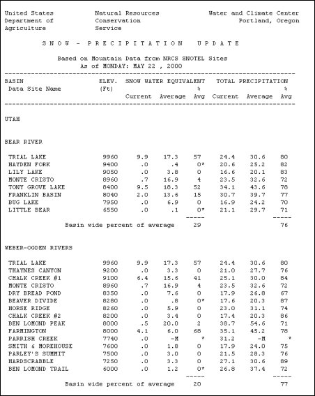
| 21:24, 17 May 2008 | GSDA SNOTEL Report.png (file) |  |
156 KB | 1 | |
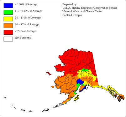
| 21:24, 17 May 2008 | GSDA USDA-NRCS Alaska.png (file) |  |
90 KB | 1 | |
| 21:25, 17 May 2008 | GSDA USDA-NRCS SnowCover.png (file) |  |
191 KB | 1 | |
| 15:40, 20 May 2008 | GSDA NWISWeb logo.png (file) | 1 KB | 1 | ||
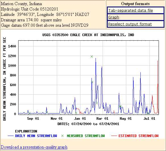
| 16:28, 20 May 2008 | GSDA StreamFlowGraph.png (file) |  |
203 KB | 1 | |
| 16:36, 20 May 2008 | GSDA USDA April2000.png (file) |  |
160 KB | 1 | |
| 16:37, 20 May 2008 | GSDA USDA FlowChart.png (file) |  |
109 KB | 1 | |
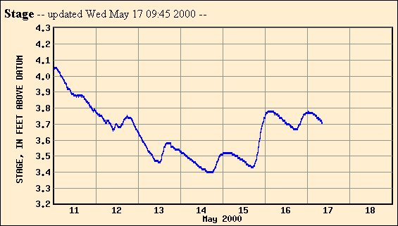
| 16:42, 20 May 2008 | GSDA Graph Stream Stage.png (file) |  |
97 KB | 1 | |
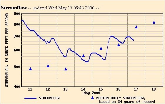
| 16:43, 20 May 2008 | GSDA FlowRate v Time.png (file) |  |
174 KB | 1 | |
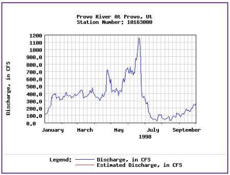
| 16:43, 20 May 2008 | GSDA Hydrograph ProvoRiver.png (file) |  |
91 KB | 1 | |
| 19:45, 21 May 2008 | GSDA TIN non-overlapping.png (file) |  |
101 KB | 1 | |
| 19:46, 21 May 2008 | GSDA TIN Watershed.png (file) |  |
155 KB | 1 | |
| 19:47, 21 May 2008 | GSDA TIN Elevations.png (file) |  |
111 KB | 1 | |
| 19:48, 21 May 2008 | GSDA TIN Oblique.png (file) |  |
174 KB | 1 | |
| 19:48, 21 May 2008 | GSDA TIN SpacedCloser.png (file) |  |
51 KB | 1 | |
| 20:20, 21 May 2008 | GSDA ESRI Logo.png (file) | 2 KB | 2 | ||
| 20:41, 21 May 2008 | GSDA ESRI1995.png (file) |  |
188 KB | 1 | |
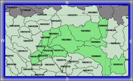
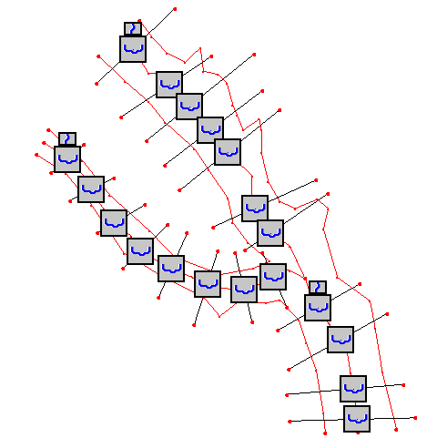
| 20:48, 21 May 2008 | GSDA CatalogingUnits.png (file) |  |
184 KB | 1 | |
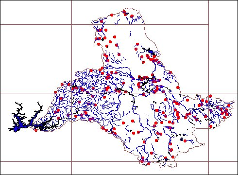
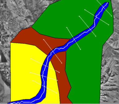
| 20:53, 21 May 2008 | GSDA EPA NHD StreamNetwork.png (file) |  |
151 KB | 1 | |
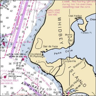
| 20:53, 21 May 2008 | Whidbey Island showing Penn Cove and Admiralty Inlet.png (file) |  |
271 KB | 1 | |
| 18:24, 26 May 2008 | WMS ZoomInCurser.png (file) |  |
987 bytes | 1 | |
| 18:25, 26 May 2008 | WMS ZoomOutCursor.png (file) |  |
974 bytes | 1 | |
| 14:37, 5 June 2008 | WMSArcHydro001.png (file) |  |
6 KB | 1 | |
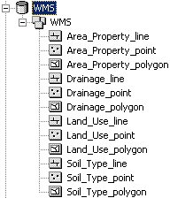
| 14:37, 5 June 2008 | WMSArcHydro002.png (file) |  |
38 KB | 1 | |
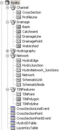
| 14:50, 5 June 2008 | WMSGeodatabase001.png (file) |  |
18 KB | 1 | |
| 14:58, 5 June 2008 | SMPDBK2.png (file) |  |
119 KB | 1 | |
| 14:33, 30 September 2008 | HEC-RASsectionicon.png (file) |  |
227 KB | 1 | |
| 23:20, 3 October 2008 | WMSImageSetActiveRgn.png (file) |  |
157 KB | 1 |