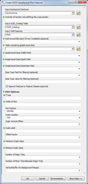
| Display title | File:AHGW Subsurface Analyst XS2D Editor - Create XS2D Geophysical Plot Features.png |
| Default sort key | AHGW Subsurface Analyst XS2D Editor - Create XS2D Geophysical Plot Features.png |
| Page length (in bytes) | 217 |
| Namespace | File |
| Page ID | 28796 |
| Page content language | en - English |
| Page content model | wikitext |
| Indexing by robots | Allowed |
| Number of redirects to this page | 0 |
| Hash value | 21d9d12ed4a868ecaadf2e3ac34cafef6bd603c5 |
| Page image |  |
| Edit | Allow all users (infinite) |
| Move | Allow all users (infinite) |
| Upload | Allow all users (infinite) |
| Page creator | Jmonson (talk | contribs) |
| Date of page creation | 19:52, 29 August 2019 |
| Latest editor | Jmonson (talk | contribs) |
| Date of latest edit | 19:52, 29 August 2019 |
| Total number of edits | 1 |
| Total number of distinct authors | 1 |
| Recent number of edits (within past 90 days) | 0 |
| Recent number of distinct authors | 0 |
