File:GSSHA Map Table Editor dialog Groundwater tab.png
From XMS Wiki
Jump to navigationJump to search
No higher resolution available.
GSSHA_Map_Table_Editor_dialog_Groundwater_tab.png (745 × 414 pixels, file size: 16 KB, MIME type: image/png)
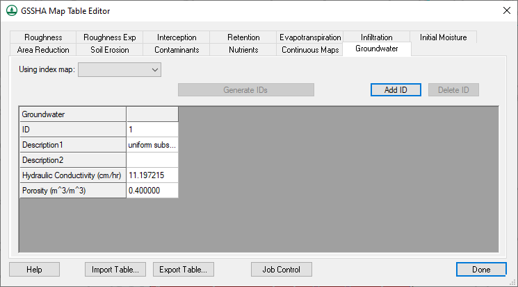
GSSHA Map Table Editor dialog showing the Groundwater tab.
File history
Click on a date/time to view the file as it appeared at that time.
| Date/Time | Thumbnail | Dimensions | User | Comment | |
|---|---|---|---|---|---|
| current | ★ Approved revision 18:52, 25 October 2022 | | 745 × 414 (16 KB) | Rcorrigan (talk | contribs) | |
| 00:44, 16 April 2019 |  | 759 × 543 (33 KB) | Jmonson (talk | contribs) | ''GSSHA Map Table Editor'' dialog showing the ''Groundwater'' tab. Category:GSSHA Category:GSSHA Dialogs |
You cannot overwrite this file.
File usage
The following page uses this file: