Help
Uploads by Rcorrigan
From XMS Wiki
Jump to navigation
Jump to search
This special page shows all uploaded files.
File list
Items per page:
20
50
100
250
500
Username:
Include old versions of files
Go
First page
Previous page
Next page
Last page
Date
Name
Thumbnail
Size
Description
Versions
21:53, 17 October 2022
Dialog GSSHA Model Check.png
(
file
)
7 KB
4
17:50, 25 October 2022
GSSHA Polygon Attributes Dialog.jpg
(
file
)
7 KB
2
17:43, 25 October 2022
WMS Detention Basin Rating Curve dialog.png
(
file
)
7 KB
2
19:14, 8 November 2022
Dialog GSSHA Precipitation - gage.png
(
file
)
7 KB
2
17:56, 25 October 2022
WMS GSSHA Hydraulic Structures dialog.png
(
file
)
7 KB
2
19:16, 8 November 2022
Dialog GSSHA Precipitation - Nexrad radar.png
(
file
)
7 KB
2
18:07, 25 October 2022
WMS GSSHA Hydraulic Structures dialog rule curve.png
(
file
)
8 KB
2
17:32, 15 February 2022
TUFLOWFV MC BC Add Gridded BC.png
(
file
)
8 KB
1
18:06, 25 October 2022
WMS GSSHA Hydraulic Structures dialog rating curve.png
(
file
)
8 KB
2
17:54, 25 October 2022
GsshaGroundwater.jpg
(
file
)
8 KB
3
18:25, 25 October 2022
JoinNRCSdata.jpg
(
file
)
8 KB
3
18:08, 25 October 2022
WMS GSSHA Hydraulic Structures dialog sched discharge.png
(
file
)
8 KB
2
18:57, 25 October 2022
WMS GSSHA Maps dialog Index Stream tab.png
(
file
)
8 KB
4
18:03, 25 October 2022
WMS GSSHA Hydraulic Structures dialog weir.png
(
file
)
9 KB
2
22:52, 25 October 2022
Dialog GSSHA Overland Soil Erosion.png
(
file
)
9 KB
7
19:47, 25 October 2022
WMS Save GSSHA Group dialog.png
(
file
)
9 KB
2
18:04, 25 October 2022
WMS GSSHA Hydraulic Structures dialog culvert.png
(
file
)
9 KB
2
18:01, 25 October 2022
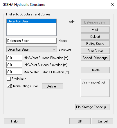
WMS GSSHA Hydraulic Structures dialog detention basin.png
(
file
)
10 KB
2
17:56, 15 February 2022
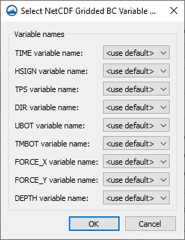
TUFLOWFV MC BC Select NetCDF Gridded Variable Names.png
(
file
)
10 KB
1
22:54, 11 August 2022
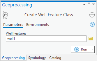
ArcGIS Pro Create Well Feature Class.png
(
file
)
10 KB
1
22:39, 31 October 2022
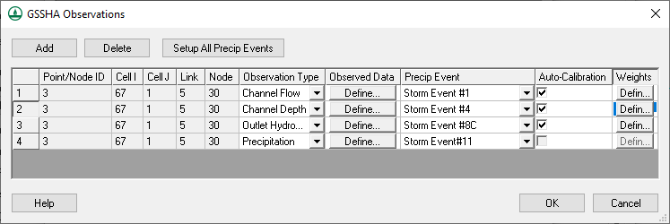
WMS GSSHA Observations dialog.png
(
file
)
10 KB
5
21:13, 24 October 2022
WMS GSSHA Channel Routing Parameters Dialog.png
(
file
)
10 KB
2
21:10, 3 March 2022
Functional Surface Other Opt.png
(
file
)
10 KB
1
18:31, 22 August 2022
ArcGIS Pro Create XS2D Catalog Table.png
(
file
)
10 KB
1
16:17, 15 August 2022
ArcGIS Pro Create Time Series Table.png
(
file
)
11 KB
1
19:49, 25 October 2022
WMS Save and Run GSSHA Group dialog.png
(
file
)
11 KB
2
20:41, 11 August 2022
ArcGIS Pro Create Unique ID Table.png
(
file
)
11 KB
1
19:27, 22 August 2022
ArcGIS Pro Reverse Section Line Orienation.png
(
file
)
11 KB
1
22:27, 24 October 2022
GSSHA Contaminants.jpg
(
file
)
11 KB
4
23:02, 23 August 2022
ArcGIS Pro Flow Direction Generator.png
(
file
)
11 KB
1
21:57, 15 August 2022
ArcGIS Pro Create SectionLine Feature Class.png
(
file
)
12 KB
1
20:45, 23 August 2022
ArcGIS Pro Borehole Viewer.png
(
file
)
12 KB
1
20:49, 15 August 2022
ArcGIS Pro Create GeoSection Feature Class.png
(
file
)
12 KB
1
21:14, 15 August 2022
ArcGIS Pro Create GeoVolume Feature Class.png
(
file
)
12 KB
1
20:51, 25 August 2022
ArcGIS Pro Assign Related ID.png
(
file
)
12 KB
2
17:46, 25 October 2022
GSSHA Embankment Arc.jpg
(
file
)
12 KB
3
21:05, 23 August 2022
ArcGIS Pro Borehole Pop up.png
(
file
)
12 KB
1
20:31, 15 August 2022
ArcGIS Pro Create Borepoints.png
(
file
)
12 KB
1
18:58, 25 October 2022
WMS GSSHA Maps dialog Continuous Grid tab.png
(
file
)
13 KB
4
18:53, 28 February 2022
GIS Raster to Flood Depth.png
(
file
)
13 KB
1
18:42, 4 April 2022
GMSDisplayGeneralOptions.jpg
(
file
)
14 KB
2
21:38, 15 August 2022
ArcGIS Pro Create Non Vertical Borelines.png
(
file
)
14 KB
1
20:52, 16 August 2022
ArcGIS Pro Create XS2D Geophysical Plot Feature Class.png
(
file
)
14 KB
1
18:35, 25 August 2022
ArcGIS Pro Time Series Grapher.png
(
file
)
14 KB
1
18:47, 11 August 2022
ArcGIS Pro Assign HydroID GW.png
(
file
)
14 KB
1
20:45, 22 August 2022
ArcGIS Pro Scale XS2D Features.png
(
file
)
14 KB
1
18:57, 25 October 2022
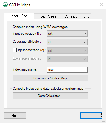
WMS GSSHA Maps dialog Index Grid tab.png
(
file
)
14 KB
4
18:15, 11 August 2022
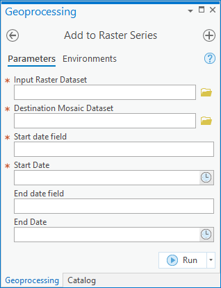
Add to Rster Sries.png
(
file
)
15 KB
1
21:44, 23 August 2022
ArcGIS Pro Arc Hydro Groundwater Ribbon.png
(
file
)
15 KB
2
18:31, 25 October 2022
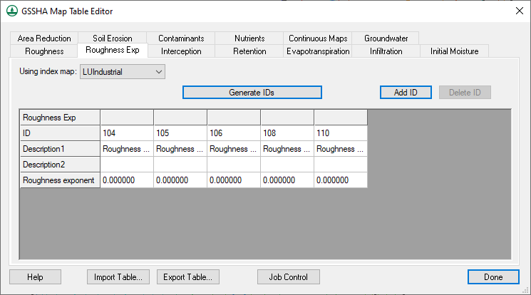
GSSHA Map Table Editor dialog Roughness Exp tab.png
(
file
)
15 KB
2
First page
Previous page
Next page
Last page
Navigation menu
Page actions
Special page
Page actions
Special page
Tools
Personal tools
English
Create account
Log in
XMS Projects
XMS
GMS
SMS
WMS
AHGW
CityWater
Search
Links
Aquaveo
Downloads
Licensing
Training
Consulting
Help
Tools
User contributions
Logs
View user groups
Special pages
Printable version


