Uploads by Cmsmemoe
From XMS Wiki
Jump to navigationJump to search
This special page shows all uploaded files.
| Date | Name | Thumbnail | Size | Description | Versions |
|---|---|---|---|---|---|
| 20:37, 26 February 2009 | GoogleEarthKmzAnimExport.png (file) |  |
1.87 MB | 1 | |
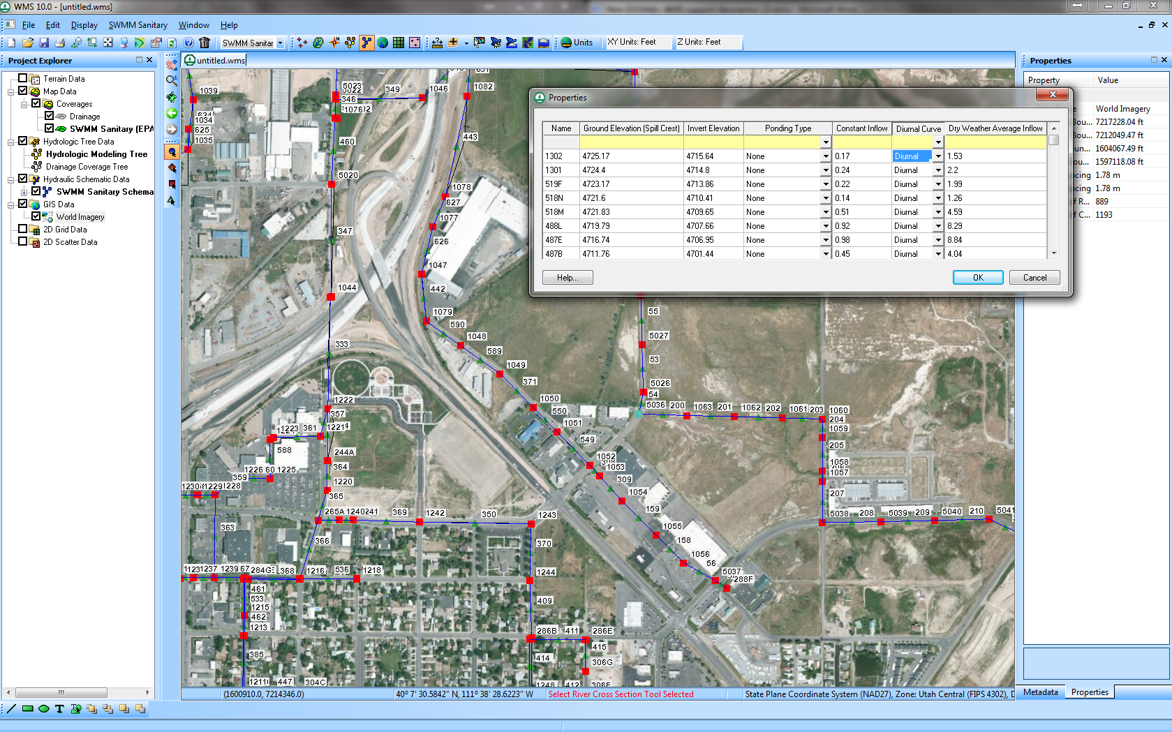
| 17:37, 12 June 2014 | EpaSwmmSanitarySewerModeling.png (file) |  |
1.58 MB | 1 | |
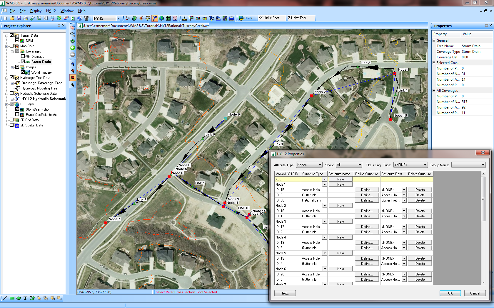
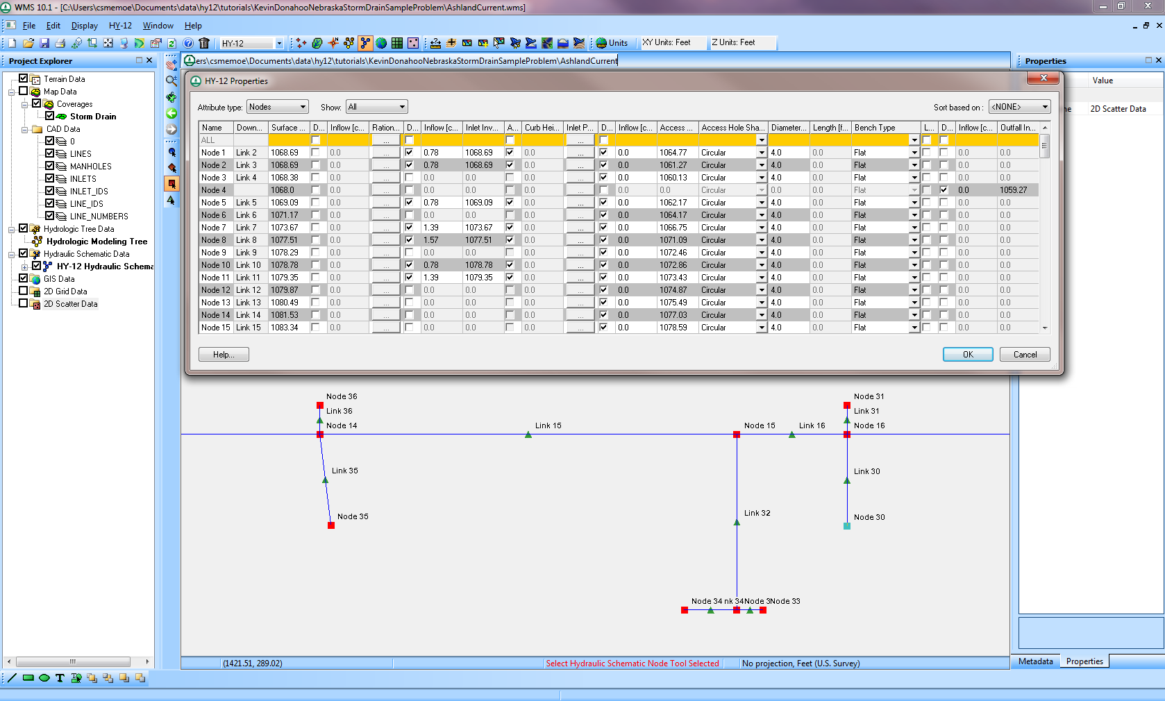
| 17:29, 25 January 2012 | HY12Interface.png (file) |  |
1.57 MB | The HY-12 Interface Window | 1 |
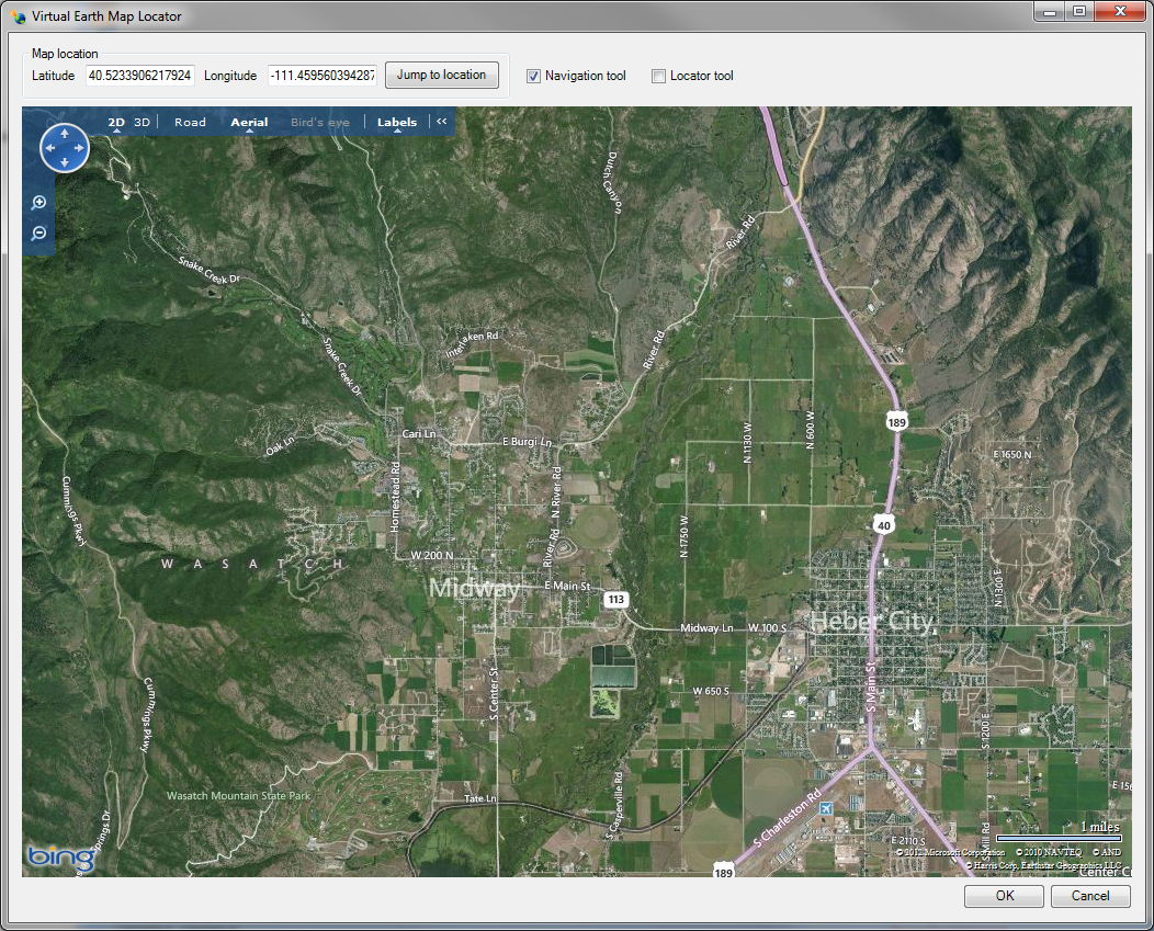
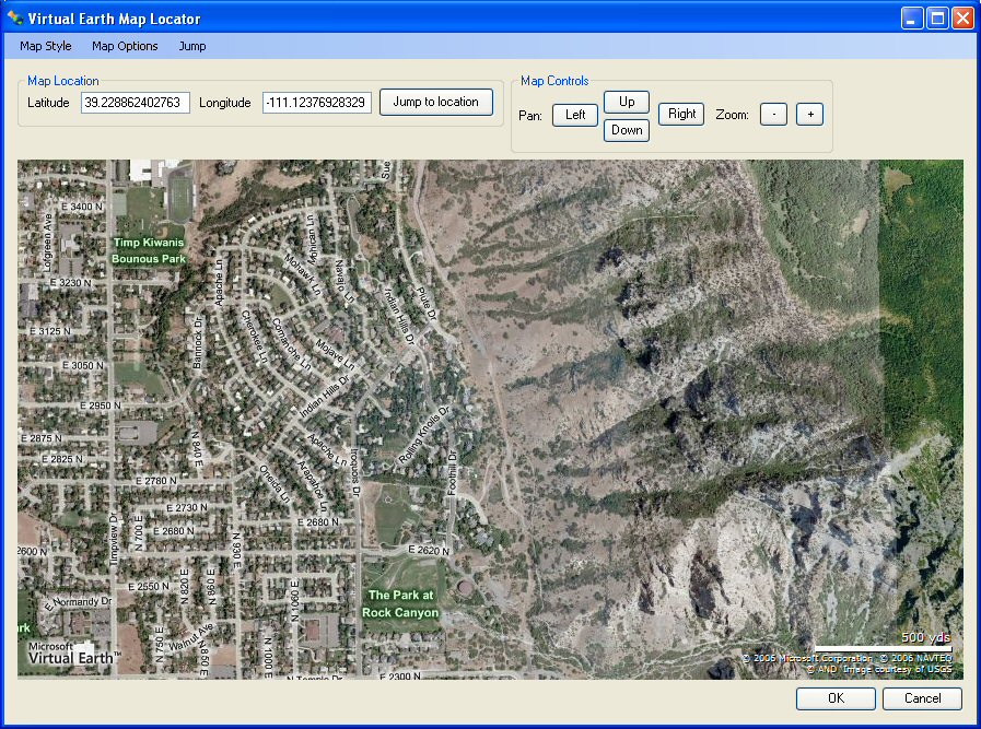
| 23:21, 18 October 2012 | VirtualEarth.png (file) |  |
1.31 MB | Virtual Earth Map Locator Window | 1 |
| 17:47, 12 June 2014 | FemaFloodMapImages.png (file) |  |
1.18 MB | 1 | |
| 17:47, 12 June 2014 | FemaFloodBoundaryLines.png (file) |  |
1.15 MB | 1 | |
| 01:03, 19 October 2012 | SWMMAttributes.png (file) |  |
1.1 MB | SWMM Model | 1 |
| 00:12, 19 October 2012 | TextureMapping.png (file) |  |
799 KB | Texture Mapped TIN | 1 |
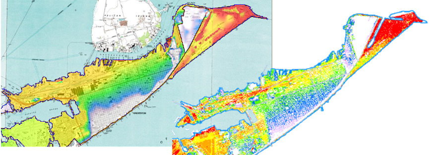
| 16:35, 22 September 2009 | IndexMaps.png (file) |  |
775 KB | 1 | |
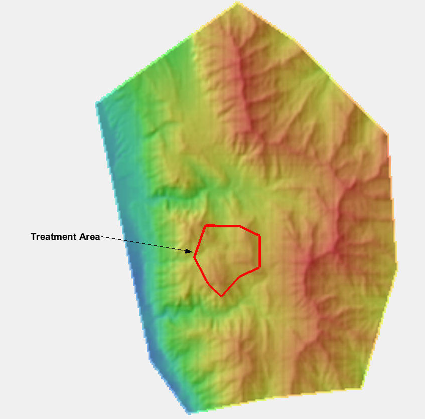
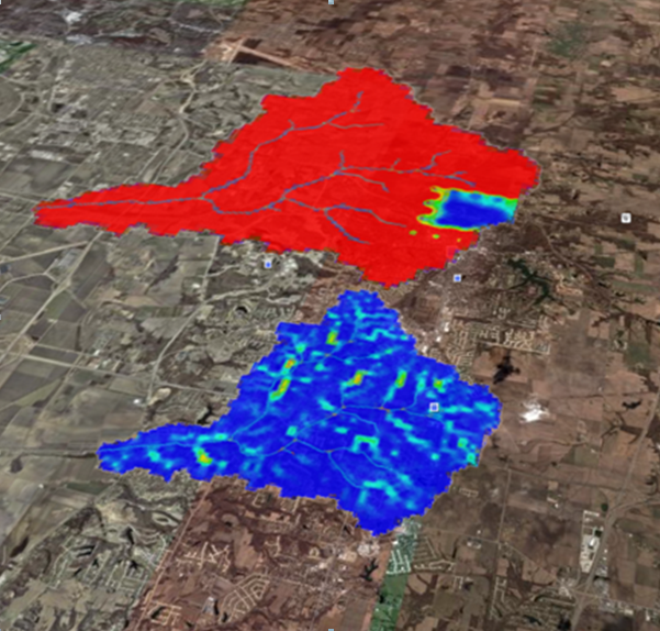
| 19:54, 16 August 2023 | Srp watersheds from raster 1.png (file) |  |
756 KB | 1 | |
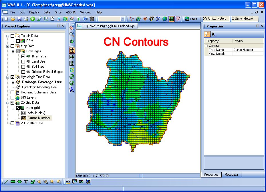
| 16:54, 25 January 2012 | GsshaInterface.png (file) |  |
679 KB | WMS interface showing GSSHA simulation | 1 |
| 22:42, 18 October 2012 | LandXMLFile.png (file) |  |
626 KB | 1 | |
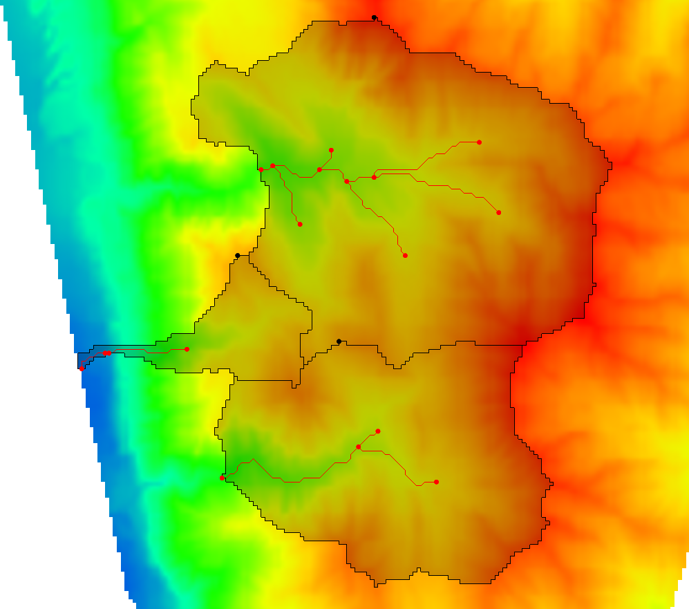
| 19:47, 14 September 2023 | Srp ugrids from watersheds 1.png (file) |  |
606 KB | 1 | |
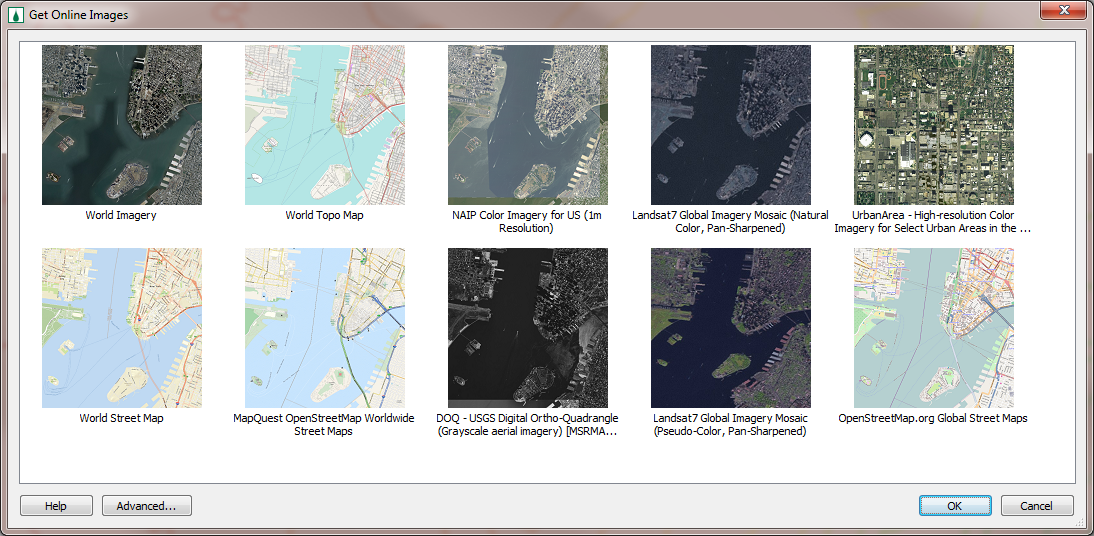
| 17:51, 25 January 2012 | OnlineImages.png (file) |  |
578 KB | Online Images Dialog | 1 |
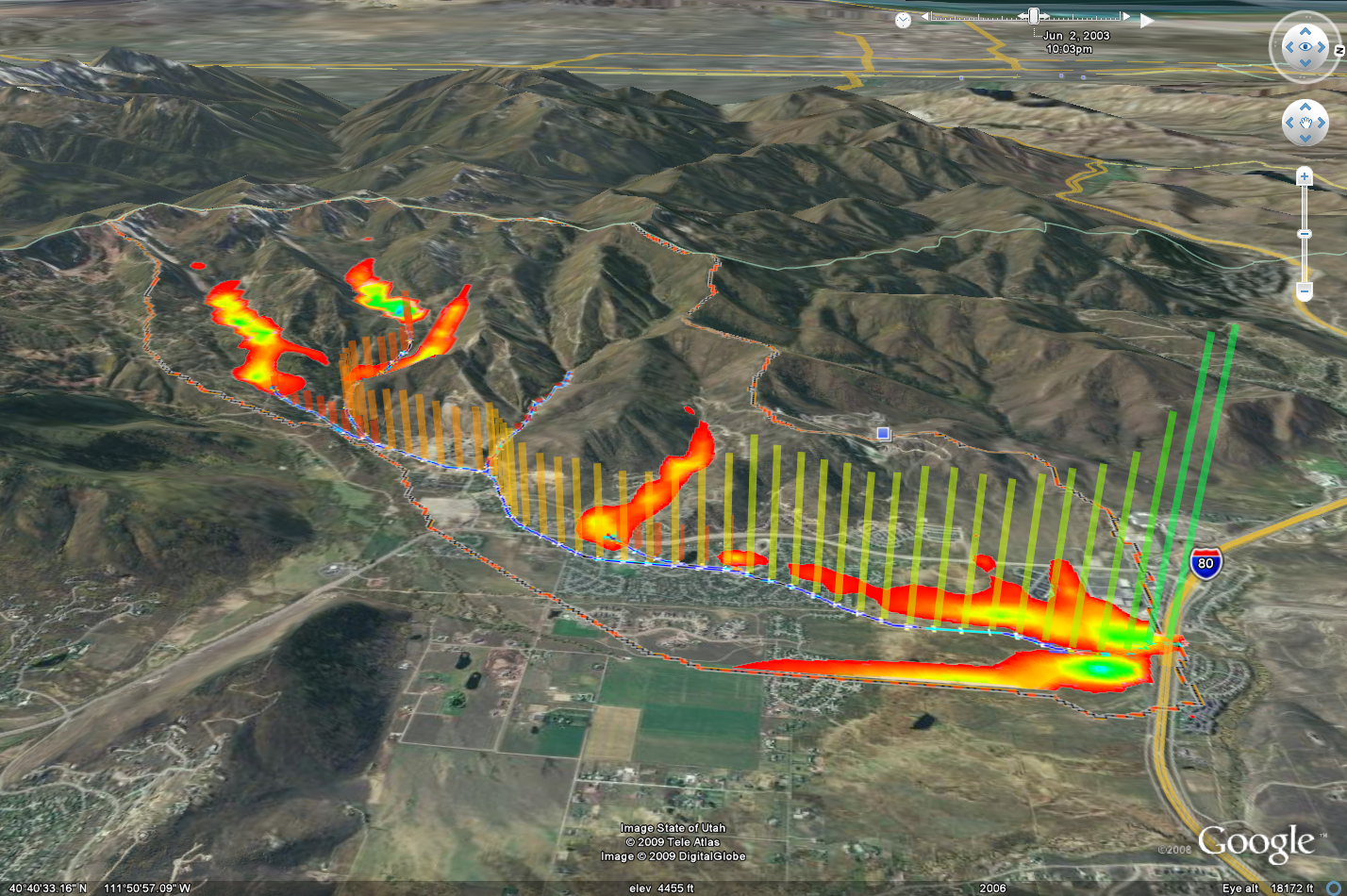
| 16:34, 22 September 2009 | RainfallToGoogleEarth.png (file) |  |
532 KB | 1 | |
| 23:51, 19 March 2013 | DisplayOrderOnObliqueView.png (file) |  |
521 KB | 1 | |
| 23:51, 19 March 2013 | DisplayOrderOffObliqueView.png (file) |  |
512 KB | 1 | |
| 21:46, 18 October 2012 | RasterDisplayAndElevationMenu.png (file) |  |
510 KB | Raster Display and Elevation Menu | 1 |
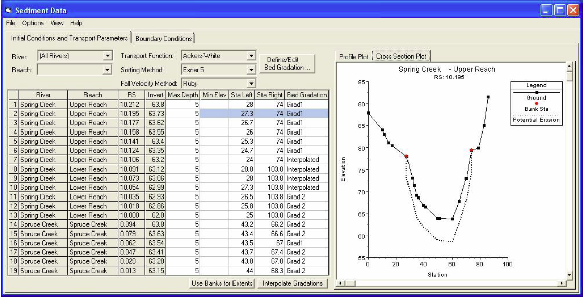
| 01:13, 4 March 2009 | Sediment.png (file) |  |
456 KB | 1 | |
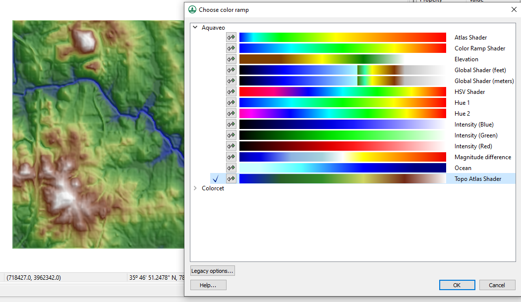
| 06:21, 8 March 2023 | ColorPalettes.png (file) |  |
451 KB | Choose color ramp dialog in WMS. | 1 |
| 18:02, 18 March 2008 | SwmmInterface.jpg (file) |  |
417 KB | 1 | |
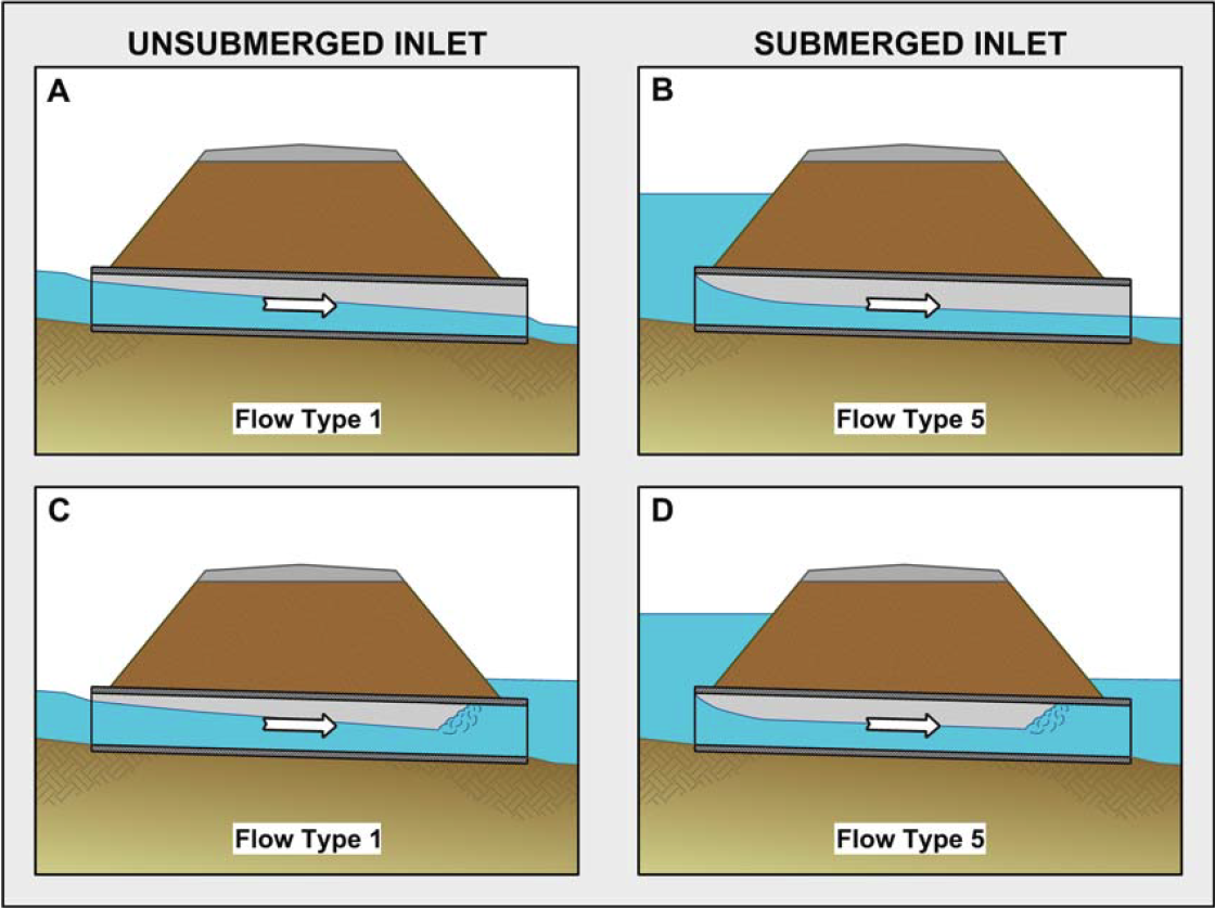
| 19:07, 6 October 2011 | InletControlFlowTypes.png (file) |  |
403 KB | 3 | |
| 16:36, 22 September 2009 | OverlandFlowBcStormSurge.png (file) |  |
376 KB | 1 | |
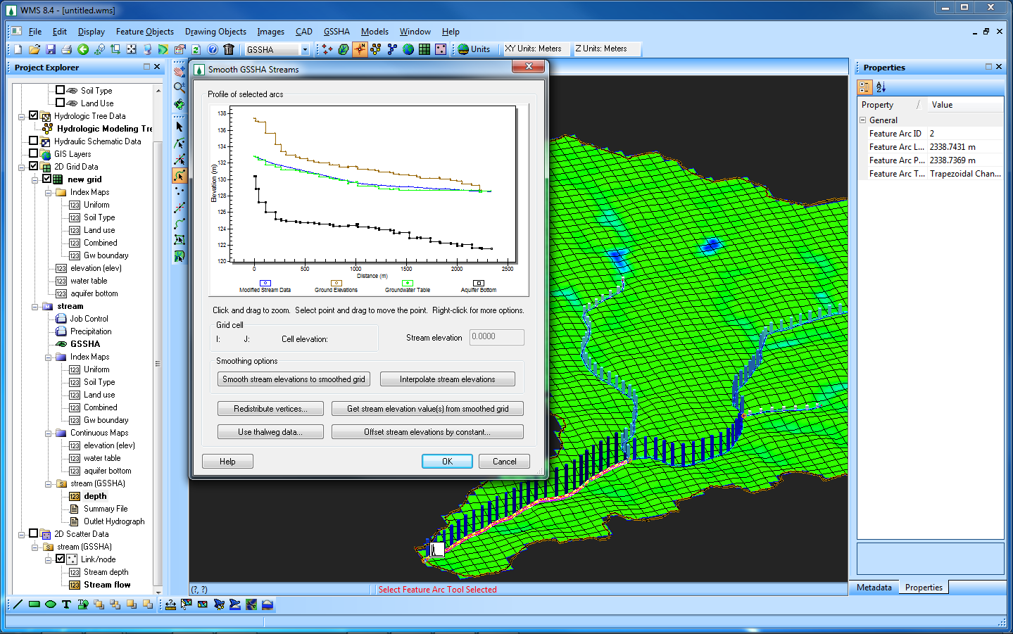
| 22:13, 7 February 2011 | GsshaSmoothStreams b.png (file) |  |
371 KB | GSSHA Groundwater Model with stream smoothing dialog. | 1 |
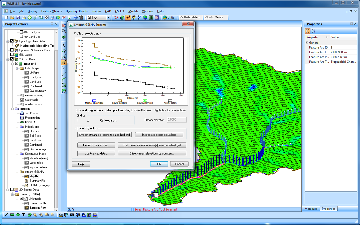
| 22:14, 7 February 2011 | GsshaSmoothStreams w.png (file) |  |
368 KB | GSSHA Groundwater Model with stream smoothing dialog. | 1 |
| 17:55, 6 October 2011 | OutletControlFlowTypes.png (file) |  |
365 KB | Outlet Control Flow Types | 1 |
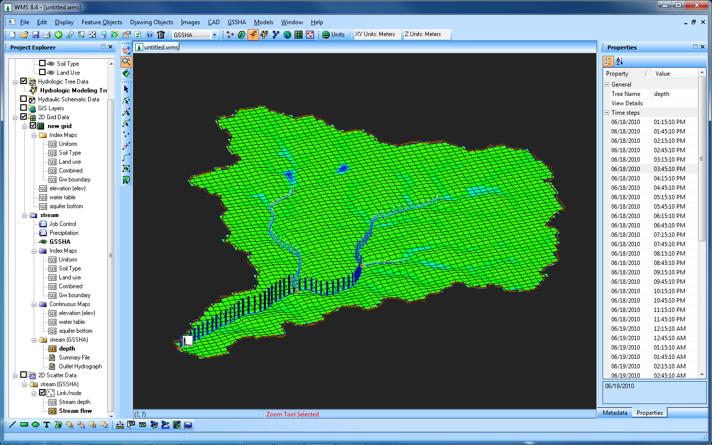
| 22:12, 7 February 2011 | GsshaGw b.png (file) |  |
349 KB | GSSHA Groundwater Model with stream depths. | 1 |
| 22:14, 7 February 2011 | GsshaGw w.png (file) |  |
349 KB | GSSHA Groundwater Model with stream depths. | 1 |
| 20:00, 16 August 2023 | Srp watersheds from raster 2.png (file) |  |
346 KB | 1 | |
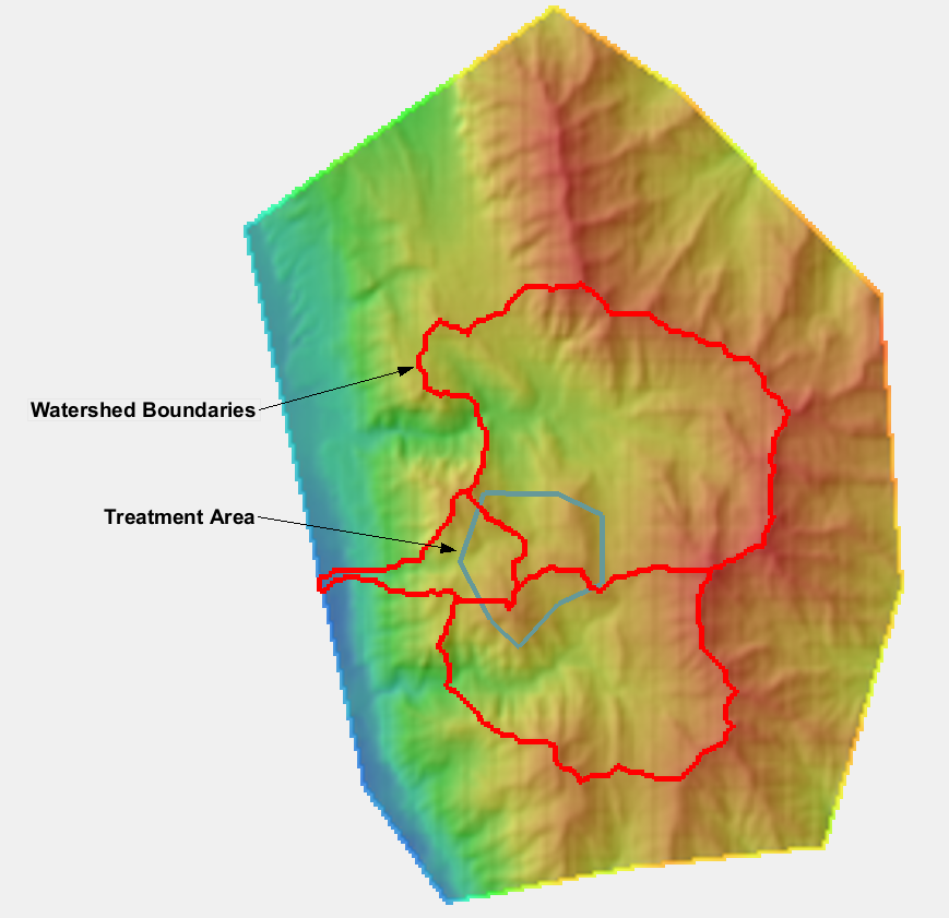
| 20:31, 26 February 2009 | Embankments.png (file) |  |
331 KB | 1 | |
| 03:44, 22 January 2015 | LouisianaRainfall.zip (file) | 301 KB | 1 | ||
| 17:03, 12 June 2014 | ModClarkDssGriddedParameters.png (file) |  |
256 KB | 1 | |
| 23:14, 13 March 2013 | WMSUseDigitizeToolbar.png (file) |  |
255 KB | Using the WMS Digitize Toolbar | 1 |
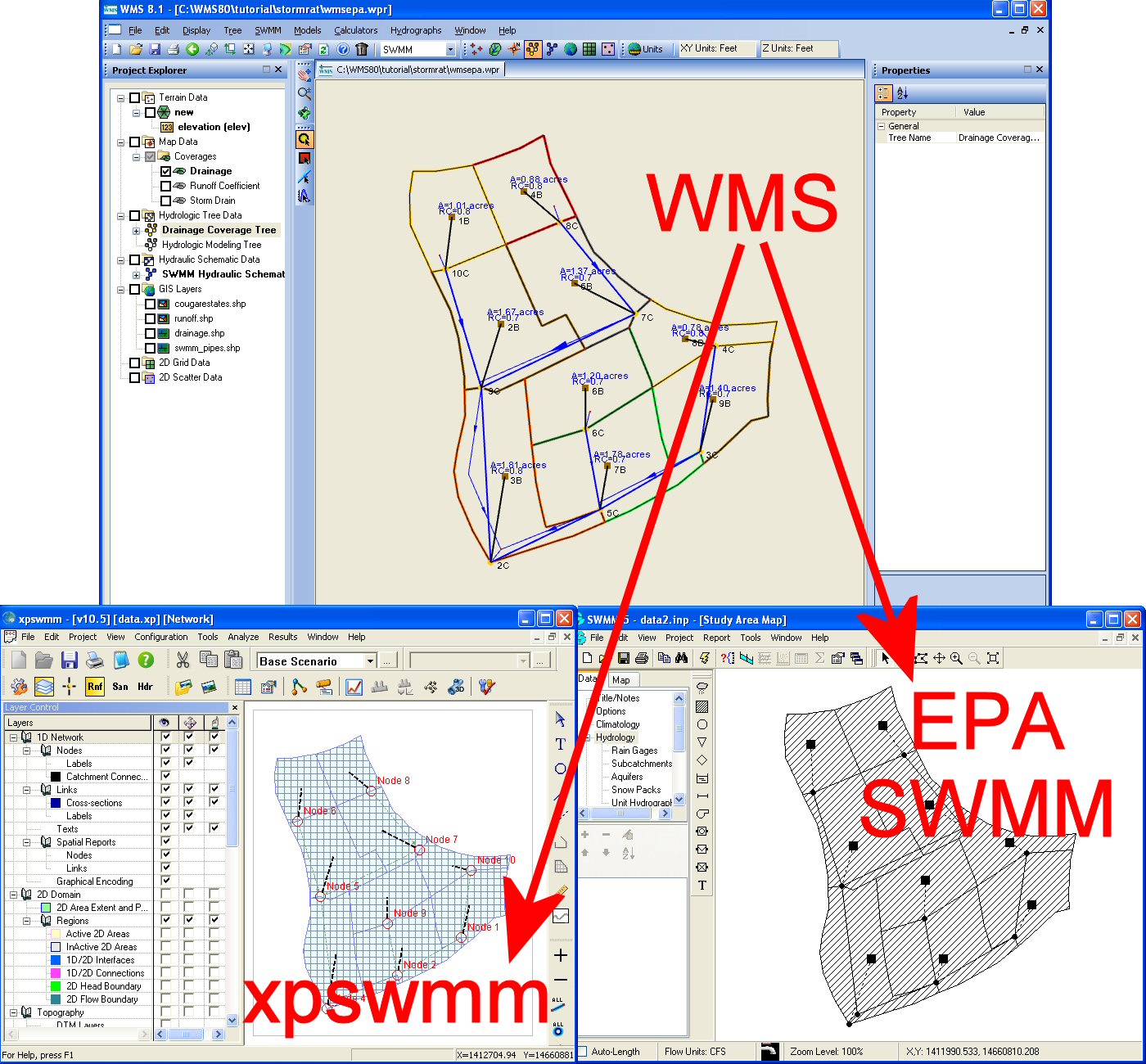
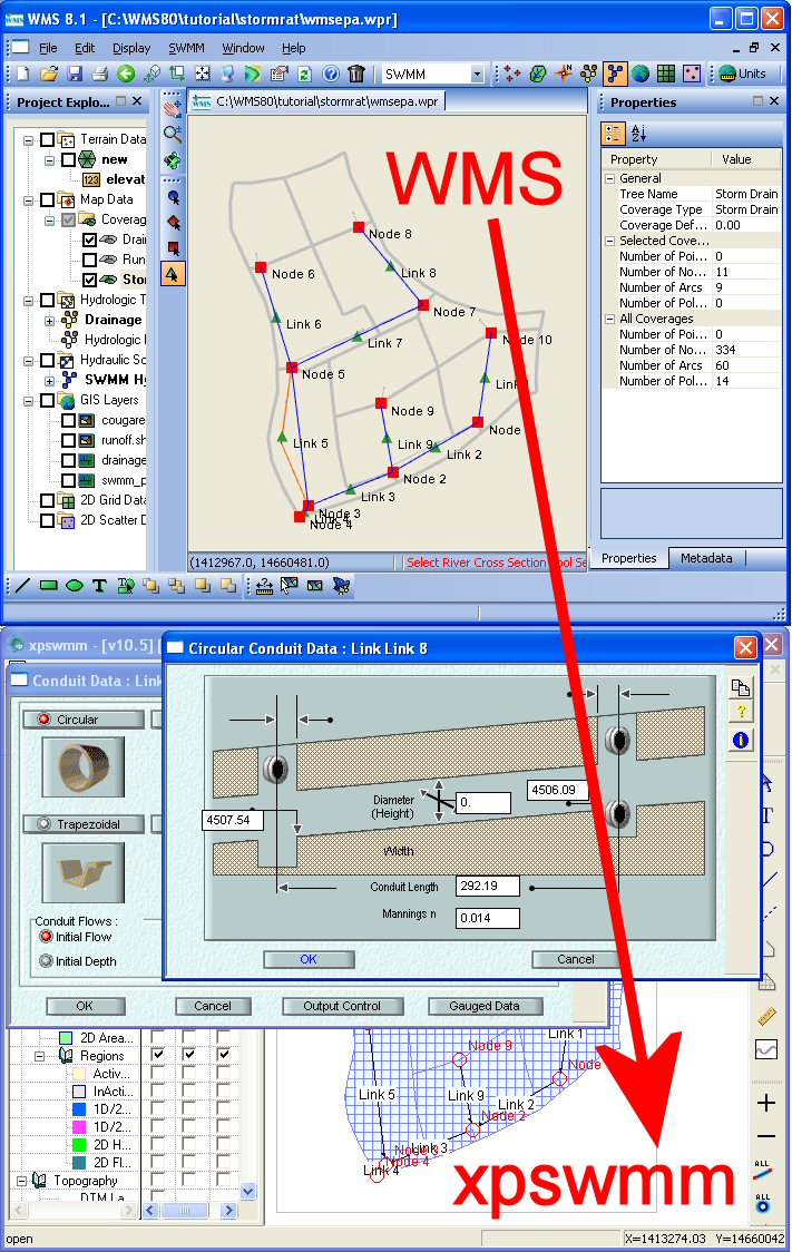
| 18:07, 18 March 2008 | WmsToXpswmm.jpg (file) |  |
253 KB | 1 | |
| 16:37, 22 September 2009 | JoinSsurgoData.png (file) |  |
229 KB | 1 | |
| 20:36, 18 March 2008 | VirtualEarthLocator.jpg (file) |  |
222 KB | 1 | |
| 05:01, 23 March 2018 | LidarGslNorth.png (file) |  |
218 KB | 1 | |
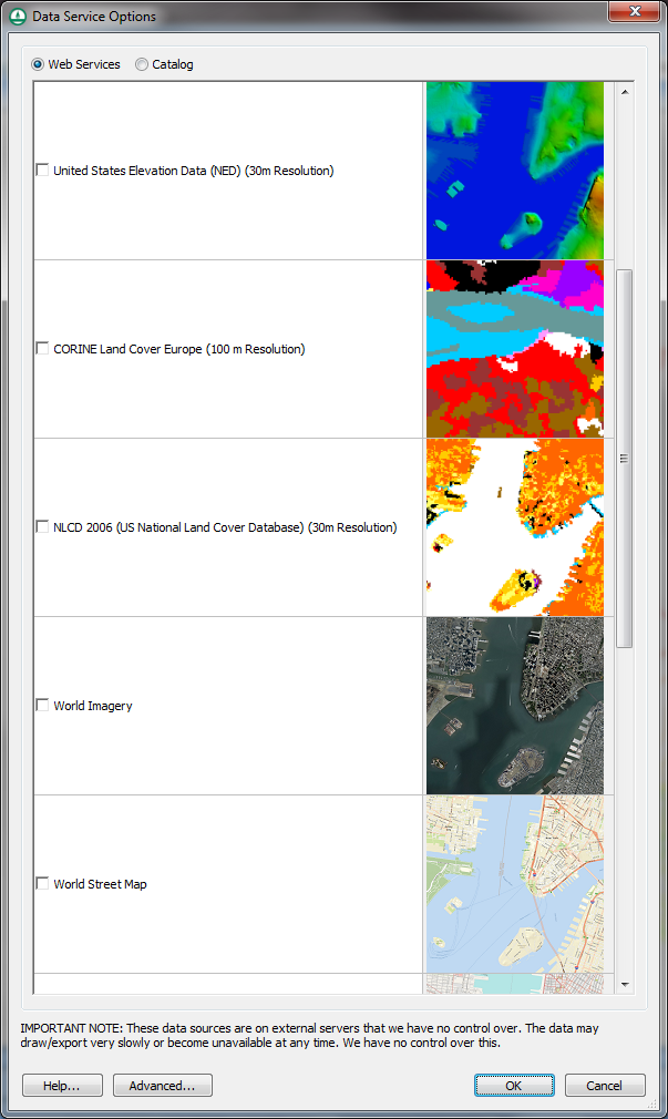
| 23:23, 18 October 2012 | GetDataDialog.png (file) |  |
217 KB | The Data Service Options (Get Data) dialog | 1 |
| 18:30, 25 January 2012 | VectorImages.png (file) |  |
210 KB | Use of Vector Images in WMS | 1 |
| 21:19, 15 November 2021 | OmegaEM.zip (file) | 201 KB | 2 | ||
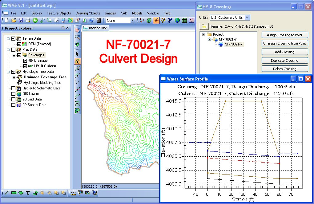
| 19:05, 18 March 2008 | HY8CulvertDesign.jpg (file) |  |
190 KB | 1 | |
| 23:41, 19 July 2011 | HY8SouthDakotaSketch12.png (file) |  |
190 KB | 1 | |
| 16:42, 18 March 2008 | NexradRainfallGages.jpg (file) |  |
182 KB | 1 | |
| 22:21, 7 December 2015 | Hy12SimplifiedInterface.png (file) |  |
175 KB | HY12 Simplified Interface | 1 |
| 22:21, 7 December 2015 | Epanet.png (file) |  |
169 KB | EPANET Interface | 1 |
| 23:38, 19 July 2011 | HY8SouthDakotaSketch2.png (file) |  |
169 KB | 1 | |
| 22:00, 16 December 2011 | HY8fig98.png (file) |  |
165 KB | 1 | |
| 16:43, 18 March 2008 | ModClarkModel.jpg (file) |  |
163 KB | 1 | |
| 23:39, 19 July 2011 | HY8SouthDakotaSketch3.png (file) |  |
159 KB | 1 | |
| 23:42, 19 July 2011 | HY8SouthDakotaSketch13.png (file) |  |
145 KB | 1 |