Uploads by Rcorrigan
From XMS Wiki
Jump to navigationJump to search
This special page shows all uploaded files.
| Date | Name | Thumbnail | Size | Description | Versions |
|---|---|---|---|---|---|
| 15:41, 12 May 2022 | Arcgispro Dtabasetable.png (file) |  |
634 bytes | 1 | |
| 22:53, 19 May 2022 | Arcgispro tggleallchckbxes.png (file) |  |
636 bytes | 1 | |
| 15:53, 7 July 2022 | External text MF6.png (file) |  |
685 bytes | 1 | |
| 22:25, 9 May 2022 | Arcgispro Geoprocssngtools.png (file) |  |
690 bytes | 1 | |
| 15:41, 12 May 2022 | Arcgispro Dtabseitem.png (file) |  |
712 bytes | 1 | |
| 17:28, 11 August 2022 | ArcGIS Pro Red Required Symbol.png (file) |  |
724 bytes | 1 | |
| 15:38, 12 May 2022 | Arcgispro Cntntsdrwingordr.png (file) |  |
742 bytes | 1 | |
| 20:13, 19 September 2022 | Windows10 Close button.png (file) |  |
744 bytes | 1 | |
| 23:07, 5 May 2022 | AddToolbx ArcGISPro.png (file) |  |
753 bytes | 1 | |
| 22:53, 19 May 2022 | Arcgispro Prjct.png (file) |  |
753 bytes | 1 | |
| 20:25, 9 May 2022 | ArcGISPro Dfault hme.png (file) |  |
763 bytes | 1 | |
| 20:38, 9 May 2022 | ArcGISPro dtabses.png (file) |  |
772 bytes | 1 | |
| 17:22, 9 May 2022 | ArcGISPro Toolbx Item.png (file) |  |
788 bytes | 1 | |
| 20:25, 9 May 2022 | ArcGISPro AddDtabase.png (file) |  |
804 bytes | 1 | |
| 17:24, 9 May 2022 | ArcGISPro Toolbx Tool.png (file) |  |
814 bytes | 1 | |
| 22:59, 23 May 2022 | Arcgispro prprties.png (file) |  |
825 bytes | 1 | |
| 19:51, 31 May 2022 | Arcgispro symbollyerd.png (file) |  |
827 bytes | 1 | |
| 22:53, 19 May 2022 | Arcgispro Addallvalus.png (file) |  |
841 bytes | 1 | |
| 22:24, 9 May 2022 | Arcgispro AddData.png (file) |  |
860 bytes | 1 | |
| 21:29, 11 August 2022 | ArcGIS Pro Reset.png (file) |  |
891 bytes | 1 | |
| 22:53, 19 May 2022 | Arcgispro dtabseflder.png (file) |  |
900 bytes | 1 | |
| 22:24, 9 May 2022 | Arcgispro toolhammer.png (file) |  |
919 bytes | 1 | |
| 17:45, 11 August 2022 | ArcGIS Pro Clock.png (file) |  |
1,011 bytes | 1 | |
| 17:23, 9 May 2022 | ArcGISPro Toolset.png (file) |  |
1,013 bytes | 1 | |
| 22:05, 23 August 2022 | ArcGIS Pro Assign Related ID Icon.png (file) | 1,023 bytes | 1 | ||
| 20:45, 9 May 2022 | ArcGISPro DfaultDtabase.png (file) |  |
1 KB | 1 | |
| 22:44, 11 August 2022 | ArcGIS Pro Warning Red.png (file) |  |
1 KB | 1 | |
| 16:13, 1 September 2022 | ArcGIS Pro mosaic dataset.png (file) |  |
1 KB | 1 | |
| 15:41, 12 May 2022 | Arcgispro Slct.png (file) |  |
1 KB | 1 | |
| 21:12, 23 May 2022 | Arcgispro Clearftures.png (file) | 1 KB | 1 | ||
| 17:02, 15 August 2022 | Arcgispro crclechev.png (file) |  |
1 KB | 1 | |
| 20:25, 9 May 2022 | ArcGISPro SlctCoordnateSystm.png (file) |  |
1 KB | 1 | |
| 15:35, 12 May 2022 | ArcGISPro Up.png (file) |  |
1 KB | 1 | |
| 16:32, 24 May 2022 | Arcgispro symbology.png (file) |  |
1 KB | 2 | |
| 17:48, 25 October 2022 | WMS Stream offset dialog.jpg (file) |  |
3 KB | 2 | |
| 19:01, 25 October 2022 | WMS GSSHA index map file export File Formats dialog.png (file) |  |
3 KB | 2 | |
| 22:44, 28 March 2022 | Contour Line Bold Options.png (file) |  |
4 KB | 1 | |
| 18:33, 3 November 2022 | WMS GSSHA Thalweg dialog.png (file) |  |
4 KB | 2 | |
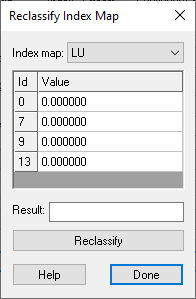
| 18:59, 25 October 2022 | WMS Reclassify Index Map Dialog.png (file) |  |
4 KB | 2 | |
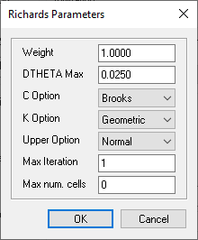
| 21:10, 24 October 2022 | WMS GSSHA Richards Parameters Dialog.png (file) |  |
4 KB | 2 | |
| 22:30, 25 August 2022 | ArcGIS Pro HGUClrMnger clrmenu.png (file) |  |
5 KB | 1 | |
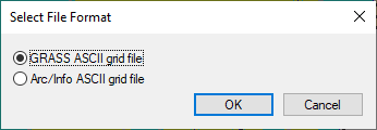
| 19:03, 25 October 2022 | WMS GSSHA Select File Format dialog.png (file) |  |
5 KB | 2 | |
| 22:03, 17 October 2022 | WMS Read GSSHA Solution dialog.png (file) |  |
5 KB | 2 | |
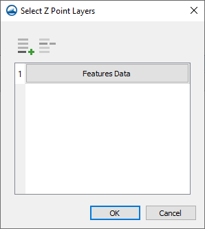
| 18:16, 15 February 2022 | TUFLOWFV MC Geometry Select Zpt Layers.png (file) |  |
5 KB | 1 | |
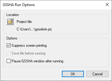
| 21:57, 17 October 2022 | Dialog GSSHA Run Options.png (file) |  |
5 KB | 5 | |
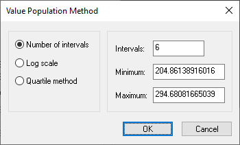
| 21:01, 29 March 2022 | Contour Optns Value Population Method.png (file) |  |
5 KB | 1 | |
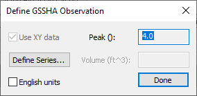
| 22:46, 25 October 2022 | WMS Define GSSHA Observation dialog.png (file) |  |
6 KB | 3 | |
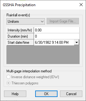
| 19:11, 8 November 2022 | Dialog GSSHA Precipitation.png (file) |  |
6 KB | 4 | |
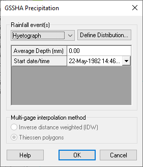
| 19:15, 8 November 2022 | Dialog GSSHA Precipitation - hyetograph.png (file) |  |
6 KB | 2 | |
| 21:08, 24 October 2022 | WMS GSSHA SAC-SMA Model Dialog.png (file) |  |
7 KB | 2 |