File:AHGW Set Layer as Map Grid dialog.png
From XMS Wiki
Jump to navigationJump to search
No higher resolution available.
AHGW_Set_Layer_as_Map_Grid_dialog.png (436 × 275 pixels, file size: 22 KB, MIME type: image/png)
Summary
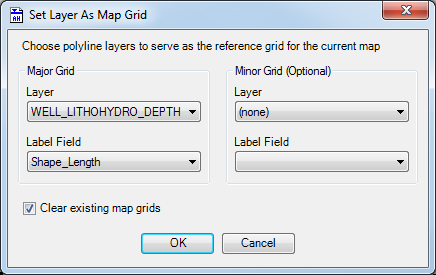
The Set Layer as Map Grid dialog accessed from the Arc Hydro Groundwater Toolbar in ArcGIS.
File history
Click on a date/time to view the file as it appeared at that time.
| Date/Time | Thumbnail | Dimensions | User | Comment | |
|---|---|---|---|---|---|
| current | ★ Approved revision 21:00, 28 October 2019 | | 436 × 275 (22 KB) | Jmonson (talk | contribs) | The ''Set Layer As Map Grid'' dialog accessed from the Arc Hydro Groundwater Toolbar in ArcGIS. Category:AHGW Images |
You cannot overwrite this file.
File usage
The following page uses this file: