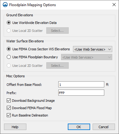
File:FloodplainMapping Options.png
From XMS Wiki
Jump to navigationJump to search
No higher resolution available.
FloodplainMapping_Options.png (388 × 437 pixels, file size: 21 KB, MIME type: image/png)
The Floodplain Mapping Options dialog reached through the Web menu
File history
Click on a date/time to view the file as it appeared at that time.
| Date/Time | Thumbnail | Dimensions | User | Comment | |
|---|---|---|---|---|---|
| current | ★ Approved revision 17:43, 21 December 2022 | | 388 × 437 (21 KB) | Jcreer (talk | contribs) | |
| 18:10, 28 May 2021 | 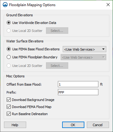 | 371 × 430 (21 KB) | Jcreer (talk | contribs) | ||
| 21:48, 22 August 2018 | 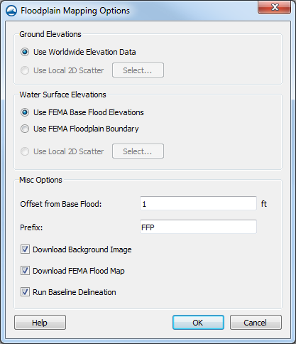 | 417 × 484 (33 KB) | Jcreer (talk | contribs) | ||
| 19:15, 28 February 2018 | 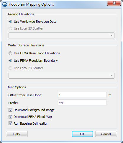 | 417 × 484 (26 KB) | Bmerrell (talk | contribs) | ||
| 16:37, 19 January 2018 | 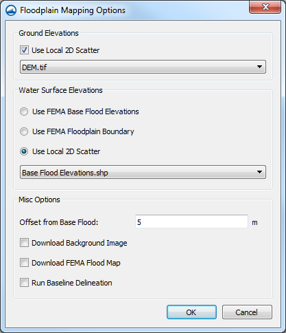 | 417 × 484 (30 KB) | Jcreer (talk | contribs) |
You cannot overwrite this file.
File usage
The following 2 pages use this file: