File:TriangulatedDrainageCoverage.png
TriangulatedDrainageCoverage.png (329 × 285 pixels, file size: 18 KB, MIME type: image/png)
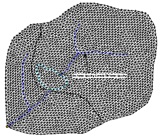
To use as a "conceptual" model when creating a TIN from a background elevation data source and feature objects for the purpose of automated watershed delineation. WMS can use TINs for performing watershed delineation. However, when triangulating a set of scattered xyz data, it is difficult if not impossible to ensure that triangle edges conform to streams, ridges and other drainage features. Drainage coverage feature objects can be used to create a TIN that conforms to the feature objects. The distribution of TIN vertices will approximate the distribution of feature arc vertices in the conceptual model.
File history
Click on a date/time to view the file as it appeared at that time.
| Date/Time | Thumbnail | Dimensions | User | Comment | |
|---|---|---|---|---|---|
| current | ★ Approved revision 14:19, 3 May 2016 | | 329 × 285 (18 KB) | Jcreer (talk | contribs) | |
| 17:15, 12 June 2007 | 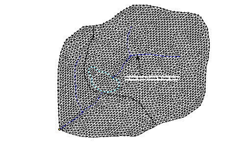 | 461 × 324 (12 KB) | Cballard (talk | contribs) |
You cannot overwrite this file.
File usage
The following page uses this file: