File:WMS GISdataExample.png
From XMS Wiki
Jump to navigationJump to search
No higher resolution available.
WMS_GISdataExample.png (256 × 400 pixels, file size: 21 KB, MIME type: image/png)
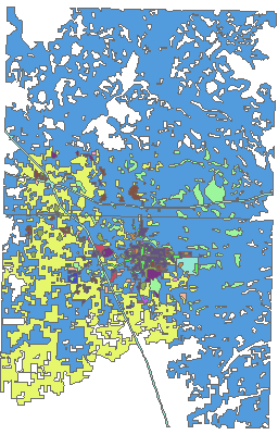
GIS data example.
The GIS module in WMS is designed for reading GIS data into WMS. The GIS data can then be converted to Feature Objects, or simply act as a background image.
File history
Click on a date/time to view the file as it appeared at that time.
| Date/Time | Thumbnail | Dimensions | User | Comment | |
|---|---|---|---|---|---|
| current | ★ Approved revision 15:44, 9 January 2017 | | 256 × 400 (21 KB) | Jcreer (talk | contribs) | |
| 19:54, 7 June 2007 |  | 256 × 400 (15 KB) | Cballard (talk | contribs) |
You cannot overwrite this file.
File usage
The following page uses this file: