File:AHGW - GeoSections showing the default clip and fill options.png: Difference between revisions
From XMS Wiki
Jump to navigationJump to search
(Example of GeoSections showing the default clip and fill options. Category:AHGW Images Category:AHGW Subsurface Analyst) |
(No difference)
|
Latest revision as of 22:41, 23 October 2019
Summary
Example of GeoSections showing the default clip and fill options.
File history
Click on a date/time to view the file as it appeared at that time.
| Date/Time | Thumbnail | Dimensions | User | Comment | |
|---|---|---|---|---|---|
| current | ★ Approved revision 22:41, 23 October 2019 | 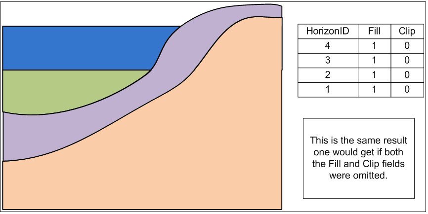 | 866 × 434 (29 KB) | Jmonson (talk | contribs) | Example of GeoSections showing the default clip and fill options. Category:AHGW Images Category:AHGW Subsurface Analyst |
You cannot overwrite this file.
File usage
The following page uses this file: