File:Edit dem.jpg: Difference between revisions
From XMS Wiki
Jump to navigationJump to search
No edit summary |
No edit summary |
||
| Line 1: | Line 1: | ||
[[Category:WMS Quick Tour]] | [[Category:WMS Quick Tour]] | ||
[[Category:Needs Update]] | |||
Users can use WMS to edit terrain data, such as Triangulated Irregular Network (TIN) and Digital Elevation Model (DEM) data. | Users can use WMS to edit terrain data, such as Triangulated Irregular Network (TIN) and Digital Elevation Model (DEM) data. | ||
Revision as of 16:15, 2 June 2015
Users can use WMS to edit terrain data, such as Triangulated Irregular Network (TIN) and Digital Elevation Model (DEM) data.
File history
Click on a date/time to view the file as it appeared at that time.
| Date/Time | Thumbnail | Dimensions | User | Comment | |
|---|---|---|---|---|---|
| current | ★ Approved revision 17:21, 11 March 2016 | 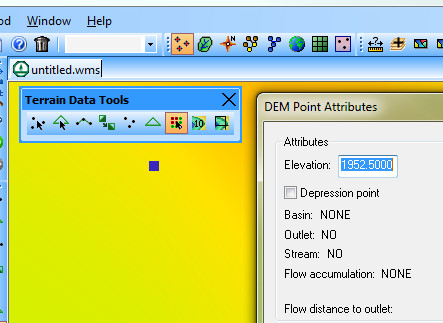 | 443 × 323 (47 KB) | Jcreer (talk | contribs) | |
| 19:15, 7 June 2007 | 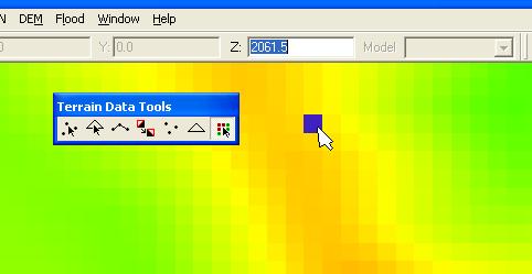 | 482 × 249 (16 KB) | Cballard (talk | contribs) |
You cannot overwrite this file.
File usage
The following page uses this file: