File:FloodPlainDelineation3.png: Difference between revisions
From XMS Wiki
Jump to navigationJump to search
No edit summary |
No edit summary |
||
| (6 intermediate revisions by the same user not shown) | |||
| Line 1: | Line 1: | ||
[[Category:Hydraulic Modeling]] | |||
[[Category:WMS Basins]] | |||
[[Category:Floodplain]] | |||
Select the appropriate options for delineating the flood plain, including the possibility of using a barrier coverage, and then delineate the flood. | |||
Latest revision as of 16:33, 9 January 2017
Select the appropriate options for delineating the flood plain, including the possibility of using a barrier coverage, and then delineate the flood.
File history
Click on a date/time to view the file as it appeared at that time.
| Date/Time | Thumbnail | Dimensions | User | Comment | |
|---|---|---|---|---|---|
| current | ★ Approved revision 14:56, 3 May 2016 | 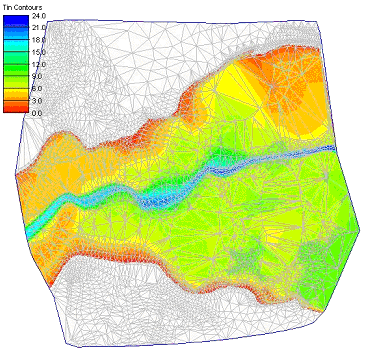 | 368 × 358 (120 KB) | Jcreer (talk | contribs) | |
| 18:02, 27 June 2007 | 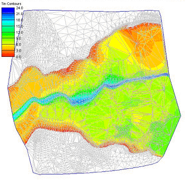 | 368 × 358 (59 KB) | Cballard (talk | contribs) |
You cannot overwrite this file.
File usage
The following page uses this file: