File:GISshapefileExample.jpg: Difference between revisions
From XMS Wiki
Jump to navigationJump to search
(Jcreer uploaded a new version of File:GISshapefileExample.jpg) |
No edit summary |
||
| Line 3: | Line 3: | ||
WMS provides a second method for opening GIS data. This method requires that the data be in shapefile format before it can be added to WMS. The entire shapefile, or a subset of shapes, can then be converted to feature objects. | WMS provides a second method for opening GIS data. This method requires that the data be in shapefile format before it can be added to WMS. The entire shapefile, or a subset of shapes, can then be converted to feature objects. | ||
Revision as of 21:07, 16 October 2015
Opening a Shapefile in WMS
WMS provides a second method for opening GIS data. This method requires that the data be in shapefile format before it can be added to WMS. The entire shapefile, or a subset of shapes, can then be converted to feature objects.
File history
Click on a date/time to view the file as it appeared at that time.
| Date/Time | Thumbnail | Dimensions | User | Comment | |
|---|---|---|---|---|---|
| current | ★ Approved revision 21:07, 16 October 2015 | 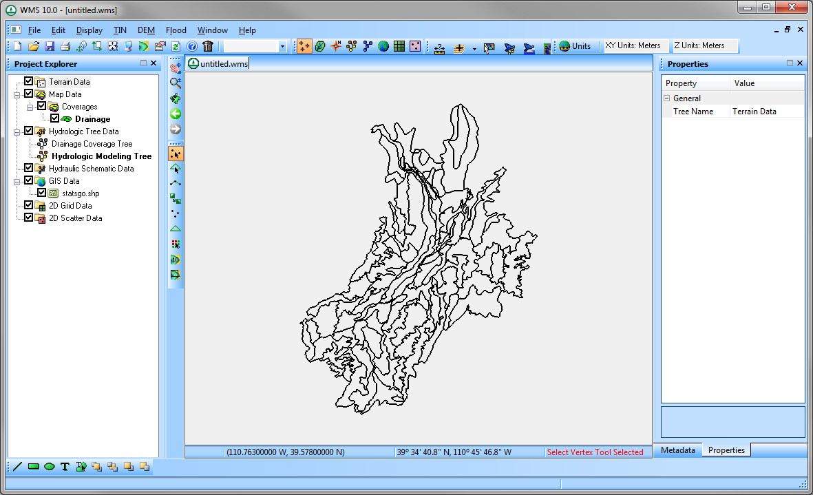 | 1,181 × 719 (187 KB) | Jcreer (talk | contribs) | |
| 19:58, 7 June 2007 |  | 738 × 558 (85 KB) | Cballard (talk | contribs) |
You cannot overwrite this file.
File usage
The following page uses this file: