File:Lidar1 b.png: Difference between revisions
From XMS Wiki
Jump to navigationJump to search
No edit summary |
No edit summary |
||
| Line 1: | Line 1: | ||
[[Category:Images]] | [[Category:Images]] | ||
[[Category:GIS]] | |||
LiDAR data of river and levee. | LiDAR data of river and levee. | ||
Latest revision as of 16:13, 8 June 2018
LiDAR data of river and levee.
File history
Click on a date/time to view the file as it appeared at that time.
| Date/Time | Thumbnail | Dimensions | User | Comment | |
|---|---|---|---|---|---|
| current | ★ Approved revision 00:17, 4 December 2010 | 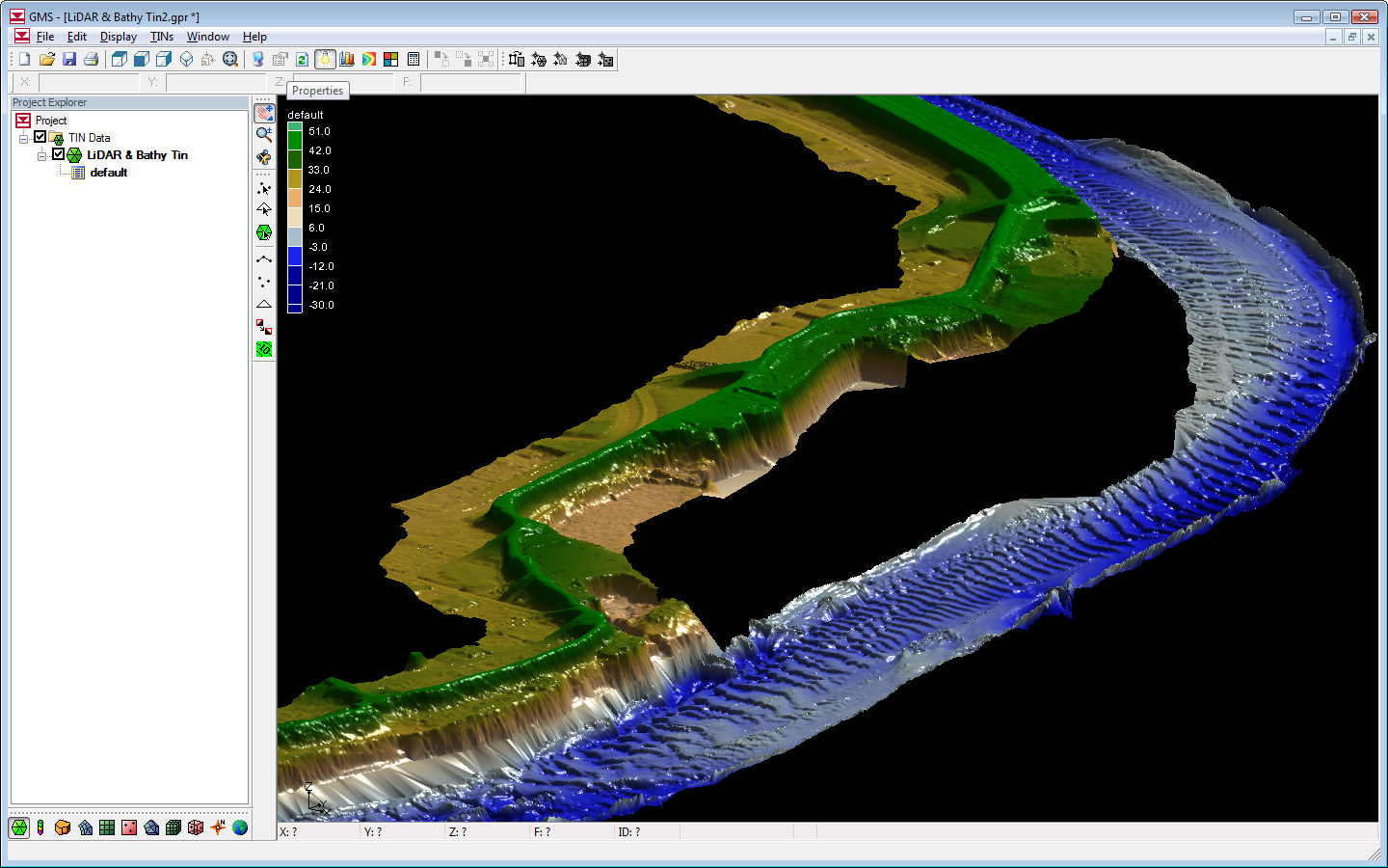 | 1,440 × 900 (916 KB) | Unjedai (talk | contribs) |
You cannot overwrite this file.
File usage
The following page uses this file: