File:MapToUGridMap.png
From XMS Wiki
Jump to navigationJump to search

Size of this preview: 458 × 599 pixels. Other resolution: 491 × 642 pixels.
Original file (491 × 642 pixels, file size: 8 KB, MIME type: image/png)
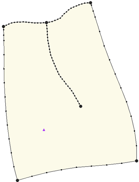
UGRID coverage example.
File history
Click on a date/time to view the file as it appeared at that time.
| Date/Time | Thumbnail | Dimensions | User | Comment | |
|---|---|---|---|---|---|
| current | ★ Approved revision 18:47, 24 February 2014 | | 491 × 642 (8 KB) | Unjedai (talk | contribs) |
You cannot overwrite this file.
File usage
The following page uses this file: