File:Raster-to-flood-depths.png: Difference between revisions
From XMS Wiki
Jump to navigationJump to search
No edit summary |
No edit summary |
||
| Line 1: | Line 1: | ||
[[Category:GIS]] | |||
[[Category:Raster]] | |||
[[Category:SMS GIS Dialogs]] | |||
[[Category:SMS Raster Dialogs]] | |||
[[Category:GMS GIS Dialogs]] | |||
[[Category:SMS GIS]] | |||
Select Geometry and Dataset dialog for converting a raster to create an inundated depth raster. | |||
Revision as of 22:23, 27 March 2019
Select Geometry and Dataset dialog for converting a raster to create an inundated depth raster.
File history
Click on a date/time to view the file as it appeared at that time.
| Date/Time | Thumbnail | Dimensions | User | Comment | |
|---|---|---|---|---|---|
| current | ★ Approved revision 22:21, 27 March 2019 | 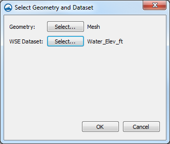 | 336 × 285 (16 KB) | Jcreer (talk | contribs) |
You cannot overwrite this file.
File usage
The following page uses this file: