Template:SMS at a glance import from web: Difference between revisions
From XMS Wiki
Jump to navigationJump to search
No edit summary |
No edit summary |
||
| Line 1: | Line 1: | ||
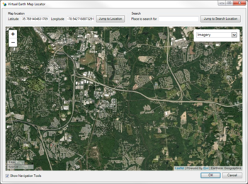
[[ | [[File:ImportFromWeb-VirtualEarthMapLocator.png |thumb|350px|right|Virtual Earth Map Locator]] | ||
{{{Heading}}} | {{{Heading}}} | ||
* Easy to use navigation tool allows user to choose model location | * Easy to use navigation tool allows user to choose model location | ||
