File:HydrologicModelingWizardDefineLandUseSoilData.png
From XMS Wiki
(Redirected from File:HydrologicModelingWizardDefineLandUseSoilData.jpg)
Jump to navigationJump to search
No higher resolution available.
HydrologicModelingWizardDefineLandUseSoilData.png (667 × 508 pixels, file size: 74 KB, MIME type: image/png)
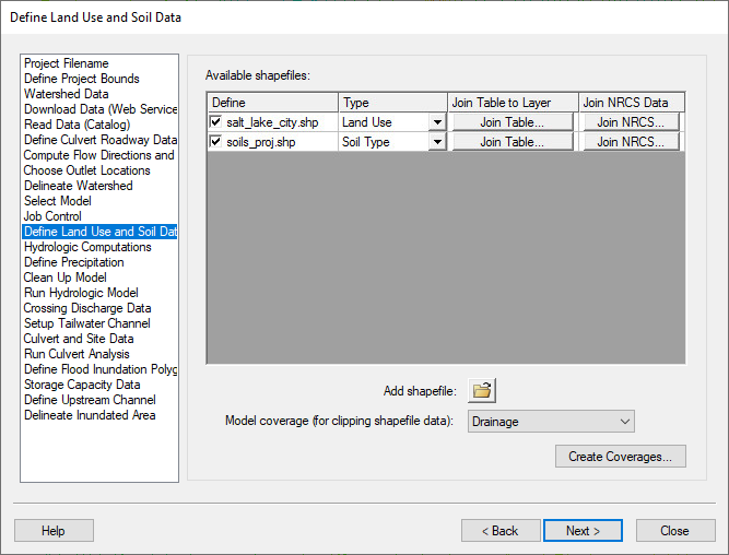
The Define Land Use and Soil Data step
HY8 Modeling Wizard showing the Define Land Use and Soil Data step.
File history
Click on a date/time to view the file as it appeared at that time.
| Date/Time | Thumbnail | Dimensions | User | Comment | |
|---|---|---|---|---|---|
| current | ★ Approved revision 21:15, 5 January 2024 | | 667 × 508 (74 KB) | Mburton (talk | contribs) | |
| 15:54, 30 March 2015 | 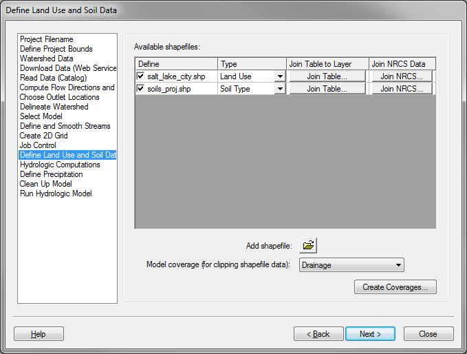 | 679 × 514 (86 KB) | Jcreer (talk | contribs) | ||
| 21:59, 9 June 2008 | 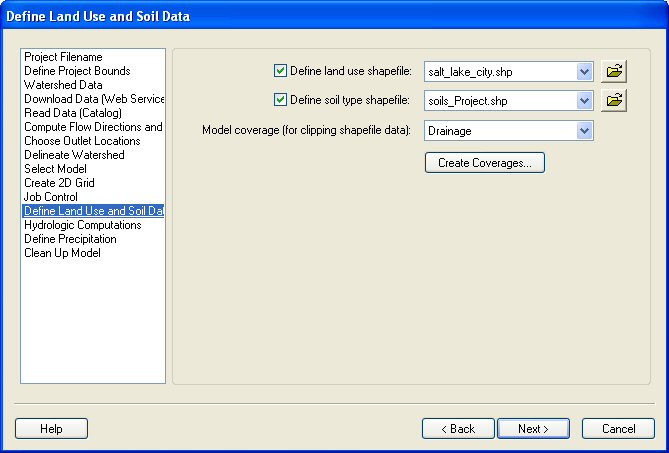 | 669 × 453 (52 KB) | Cmsmemoe (talk | contribs) |
You cannot overwrite this file.
File usage
The following 5 pages use this file: