Help
Uploads by Rcorrigan
From XMS Wiki
Jump to navigation
Jump to search
This special page shows all uploaded files.
File list
Items per page:
20
50
100
250
500
Username:
Include old versions of files
Go
First page
Previous page
Next page
Last page
Date
Name
Thumbnail
Size
Description
Versions
19:16, 8 November 2022
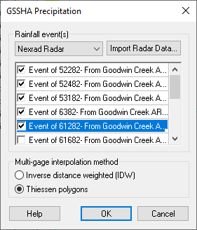
Dialog GSSHA Precipitation - Nexrad radar.png
(
file
)
7 KB
2
19:15, 8 November 2022
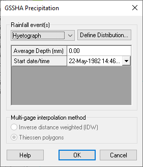
Dialog GSSHA Precipitation - hyetograph.png
(
file
)
6 KB
2
19:14, 8 November 2022
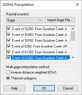
Dialog GSSHA Precipitation - gage.png
(
file
)
7 KB
2
19:11, 8 November 2022
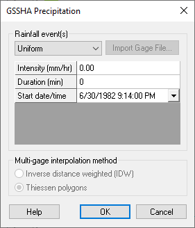
Dialog GSSHA Precipitation.png
(
file
)
6 KB
4
18:33, 3 November 2022
WMS GSSHA Thalweg dialog.png
(
file
)
4 KB
2
18:24, 3 November 2022
Smooth GSSHA Streams dialog.png
(
file
)
23 KB
3
18:19, 3 November 2022
GSSHA Solution Data.jpg
(
file
)
57 KB
4
16:00, 3 November 2022
WMS GSSHA Solution Analysis dialog.png
(
file
)
21 KB
4
22:39, 31 October 2022
WMS GSSHA Observations dialog.png
(
file
)
10 KB
5
22:52, 25 October 2022
Dialog GSSHA Overland Soil Erosion.png
(
file
)
9 KB
7
22:46, 25 October 2022
WMS Define GSSHA Observation dialog.png
(
file
)
6 KB
3
22:26, 25 October 2022
MappingCalibParams.jpg
(
file
)
63 KB
4
22:22, 25 October 2022
ParameterKeyValues.png
(
file
)
31 KB
3
22:13, 25 October 2022
WMS GSSHA Nutrients dialog Uniform Properties tab.png
(
file
)
17 KB
4
22:13, 25 October 2022
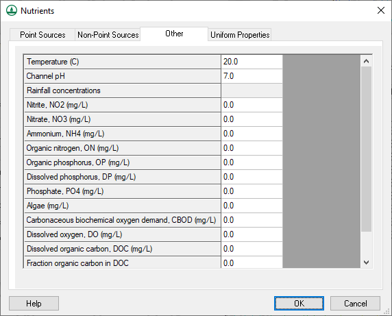
WMS GSSHA Nutrients dialog Other tab.png
(
file
)
25 KB
4
22:10, 25 October 2022
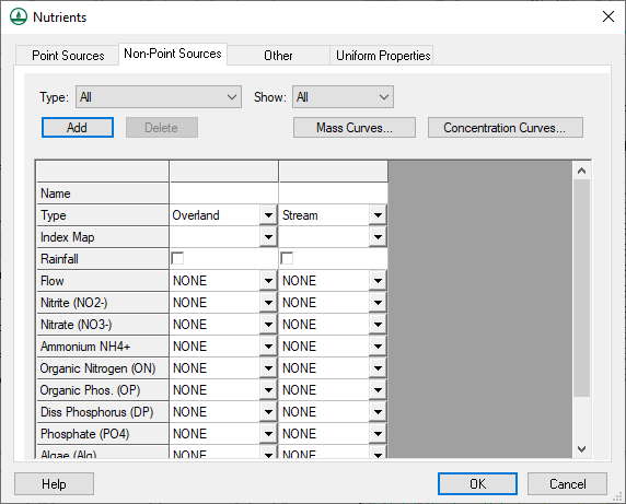
GSSHA Nutrients dialog Non-Point Sources tab.png
(
file
)
23 KB
2
22:09, 25 October 2022
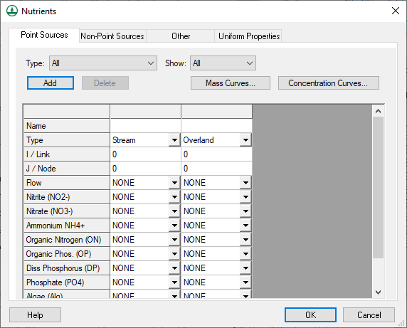
GSSHA Nutrients dialog Point Sources tab.png
(
file
)
23 KB
2
19:52, 25 October 2022
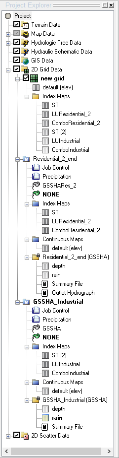
WMS Project Explorer with two GSSHA simulations.png
(
file
)
25 KB
3
19:49, 25 October 2022
WMS Save and Run GSSHA Group dialog.png
(
file
)
11 KB
2
19:47, 25 October 2022
WMS Save GSSHA Group dialog.png
(
file
)
9 KB
2
19:03, 25 October 2022
WMS GSSHA Select File Format dialog.png
(
file
)
5 KB
2
19:02, 25 October 2022
WMS GSSHA Import Index Map dialog.png
(
file
)
31 KB
2
19:01, 25 October 2022
WMS GSSHA index map file export File Formats dialog.png
(
file
)
3 KB
2
18:59, 25 October 2022
WMS Reclassify Index Map Dialog.png
(
file
)
4 KB
2
18:58, 25 October 2022
WMS GSSHA Maps dialog Continuous Grid tab.png
(
file
)
13 KB
4
18:57, 25 October 2022
WMS GSSHA Maps dialog Index Stream tab.png
(
file
)
8 KB
4
18:57, 25 October 2022
WMS GSSHA Maps dialog Index Grid tab.png
(
file
)
14 KB
4
18:52, 25 October 2022
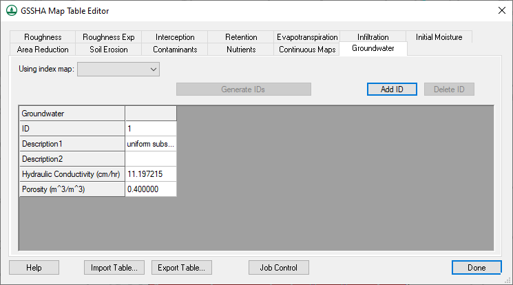
GSSHA Map Table Editor dialog Groundwater tab.png
(
file
)
16 KB
2
18:50, 25 October 2022
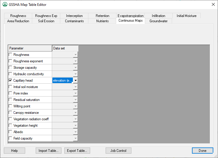
GSSHA Map Table Editor dialog Continuous Maps tab.png
(
file
)
22 KB
2
18:48, 25 October 2022
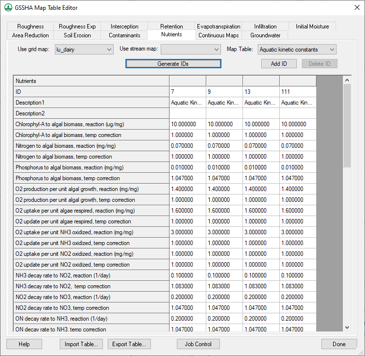
GSSHA Map Table Editor dialog Nutrients tab.png
(
file
)
52 KB
2
18:47, 25 October 2022
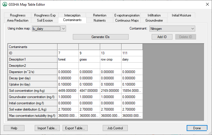
GSSHA Map Table Editor dialog Contaminants tab.png
(
file
)
28 KB
2
18:43, 25 October 2022
GSSHA Map Table Editor dialog Infiltration tab.png
(
file
)
29 KB
3
18:41, 25 October 2022
GSSHA Map Table Editor dialog Soil Erosion tab.png
(
file
)
26 KB
2
18:39, 25 October 2022
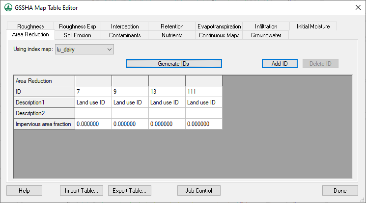
GSSHA Map Table Editor dialog Area Reduction tab.png
(
file
)
15 KB
2
18:38, 25 October 2022
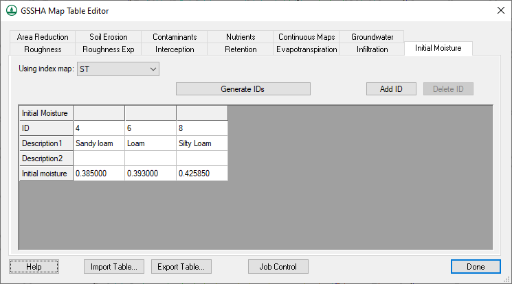
GSSHA Map Table Editor dialog Initial Moisture tab.png
(
file
)
16 KB
2
18:36, 25 October 2022
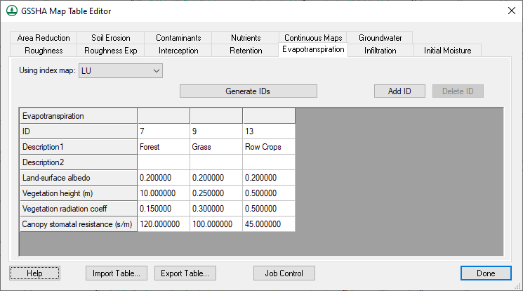
GSSHA Map Table Editor dialog Evapotranspiration tab.png
(
file
)
20 KB
2
18:36, 25 October 2022
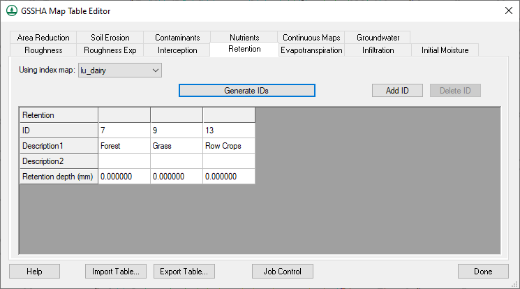
GSSHA Map Table Editor dialog Retention tab.png
(
file
)
15 KB
2
18:33, 25 October 2022
GSSHA Map Table Editor dialog Interception tab.png
(
file
)
15 KB
2
18:31, 25 October 2022
GSSHA Map Table Editor dialog Roughness Exp tab.png
(
file
)
15 KB
2
18:28, 25 October 2022
Dialog GSSHA Map Table Editor.png
(
file
)
17 KB
4
18:25, 25 October 2022
JoinNRCSdata.jpg
(
file
)
8 KB
3
18:08, 25 October 2022
WMS GSSHA Hydraulic Structures dialog sched discharge.png
(
file
)
8 KB
2
18:07, 25 October 2022
WMS GSSHA Hydraulic Structures dialog rule curve.png
(
file
)
8 KB
2
18:06, 25 October 2022
WMS GSSHA Hydraulic Structures dialog rating curve.png
(
file
)
8 KB
2
18:04, 25 October 2022
WMS GSSHA Hydraulic Structures dialog culvert.png
(
file
)
9 KB
2
18:03, 25 October 2022
WMS GSSHA Hydraulic Structures dialog weir.png
(
file
)
9 KB
2
18:01, 25 October 2022
WMS GSSHA Hydraulic Structures dialog detention basin.png
(
file
)
10 KB
2
17:56, 25 October 2022
WMS GSSHA Hydraulic Structures dialog.png
(
file
)
7 KB
2
17:54, 25 October 2022
GsshaGroundwater.jpg
(
file
)
8 KB
3
17:50, 25 October 2022
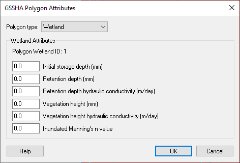
GSSHA Polygon Attributes Dialog.jpg
(
file
)
7 KB
2
First page
Previous page
Next page
Last page
Navigation menu
Page actions
Special page
Page actions
Special page
Tools
Personal tools
English
Create account
Log in
XMS Projects
XMS
GMS
SMS
WMS
AHGW
CityWater
Search
Links
Aquaveo
Downloads
Licensing
Training
Consulting
Help
Tools
User contributions
Logs
View user groups
Special pages
Printable version


