Bounds to Polygon Tool
From XMS Wiki
Revision as of 22:02, 31 January 2022 by Rcorrigan (talk | contribs) (Created page with "__NOINDEX__ {{Version SMS 13.2}} {{Bounds to Polygon}} {{Navbox SMS}} Category:Toolbox")
| This contains information about functionality available starting at SMS version 13.2. The content may not apply to other versions. |
Bounds to Polygon
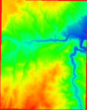
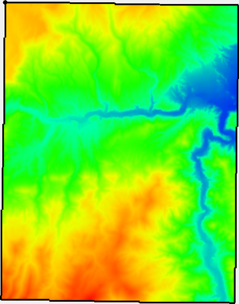
The Bounds to Polygon tool creates a new coverage with polygons bounding all of the active regions of the raster. Any inactive regions that fall within an interior polygon will be deleted automatically.
Inactive regions of a raster are determined by the NODATA value of the raster.
Input Parameters
- Input raster – The raster for which the active boundary polygon will be created.
Output Parameters
- Output coverage – The new coverage to be created, containing the boundary polygon for the active region of the input raster.
Current Location in Toolbox
Rasters/Bounds to Polygon
SMS – Surface-water Modeling System | ||
|---|---|---|
| Modules: | 1D Grid • Cartesian Grid • Curvilinear Grid • GIS • Map • Mesh • Particle • Quadtree • Raster • Scatter • UGrid |  |
| General Models: | 3D Structure • FVCOM • Generic • PTM | |
| Coastal Models: | ADCIRC • BOUSS-2D • CGWAVE • CMS-Flow • CMS-Wave • GenCade • STWAVE • WAM | |
| Riverine/Estuarine Models: | AdH • HEC-RAS • HYDRO AS-2D • RMA2 • RMA4 • SRH-2D • TUFLOW • TUFLOW FV | |
| Aquaveo • SMS Tutorials • SMS Workflows | ||

