File:Nodatatopolygon1.jpg: Difference between revisions
From XMS Wiki
Jump to navigationJump to search
No edit summary |
No edit summary |
||
| (2 intermediate revisions by the same user not shown) | |||
| Line 1: | Line 1: | ||
Raster containing NODATA cells (shown in purple) shown surrounding a river with dry islands. | |||
[[Category: | [[Category:Toolbox Coverages]] | ||
[[Category:Toolbox Rasters]] | |||
Latest revision as of 19:12, 26 October 2023
Raster containing NODATA cells (shown in purple) shown surrounding a river with dry islands.
File history
Click on a date/time to view the file as it appeared at that time.
| Date/Time | Thumbnail | Dimensions | User | Comment | |
|---|---|---|---|---|---|
| current | ★ Approved revision 17:48, 17 December 2021 | 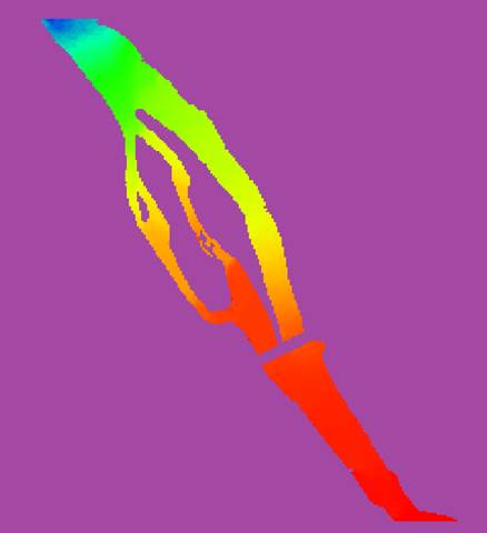 | 438 × 480 (10 KB) | Jcreer (talk | contribs) |
You cannot overwrite this file.