WMS:Quick Tour - Conceptual Model for Creating a TIN
From XMS Wiki
Jump to navigationJump to search
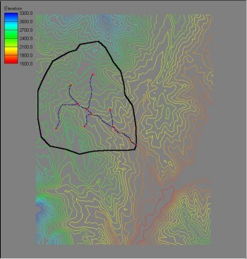
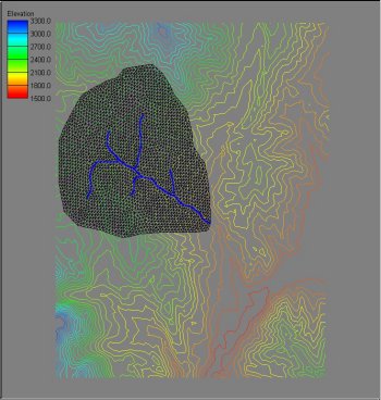
The most important TIN quality for basin delineation is that triangle edges conform to important drainage features such as streams. By using GIS Vector data to establish streams and a "rough" boundary, a TIN well-suited for basin delineation can be created.


