WMS:Quick Tour - GIS Data
From XMS Wiki
Jump to navigationJump to search
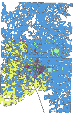
The GIS module in WMS is designed for reading GIS data into WMS. The GIS data can then be converted to Feature Objects, or simply act as a background image.


