WMS:Quick Tour -Hec-1
From XMS Wiki
Jump to navigationJump to search
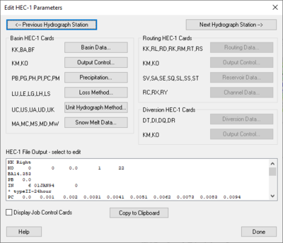
Many of the HEC-1 input parameters (area, curve number, lag time, etc.) can be computed directly from the digital terrain model. WMS includes a complete graphical user interface to view/edit these and all other HEC-1 parameters. Input files are written from WMS and a windows version of HEC-1 is launched to execute the model. After running HEC-1, resulting hydrographs may be read back in and viewed.


