WMS:Quick Tour - TINs
From XMS Wiki
Jump to navigationJump to search
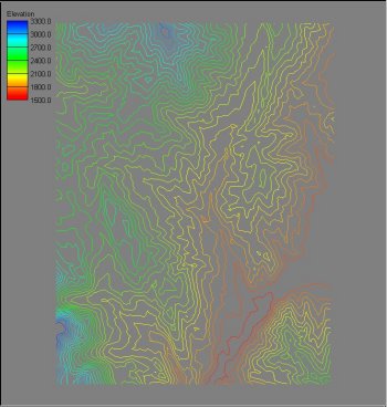
Triangulated Irregular Networks (TINs) can also be used to delineate watersheds and set up hydrologic models. The first step in the process is to obtain elevation data. Elevations can come from DEM files, digitized data, or any other scattered xyz data source.


